🌍 Public
Fork of Simple World Map
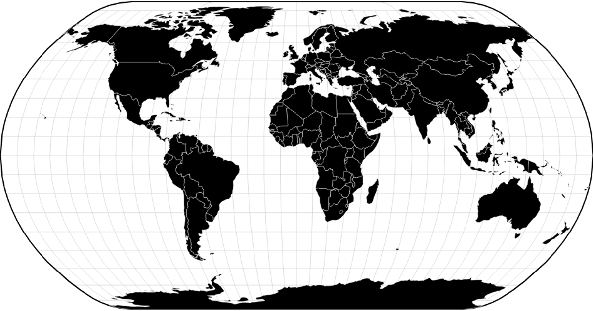
This fork of a simple world map colors each country by its continent, distinguishing seven landmasses with a distinct palette while graticule lines and a bold outline frame the projection. It renders geographic features as SVG paths using D3's `geoNaturalEarth1` projection, `geoPath`, and `geoGraticule` APIs. The map fetches TopoJSON from the visionscarto-world-atlas package, converts it with `topojson-client`, and maps country identifiers to continent colors via a static lookup table.
AI-generated descriptionMIT Licensed




Comments
Sign in to join the discussion.