🌍 Public
World map VI
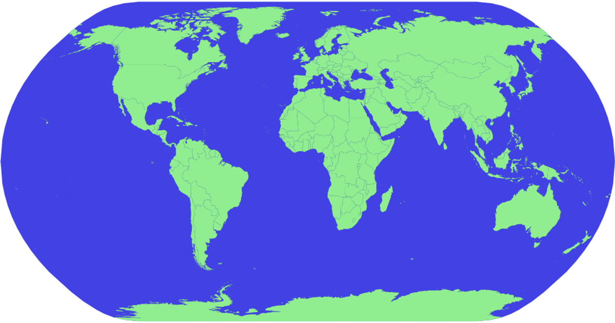
This example presents an interactive world map using the Winkel Tripel projection, rendering countries from Natural Earth TopoJSON data with graticules and a sphere outline. It incorporates zooming via `d3.zoom` and semantic zoom by counter-scaling country name labels to remain readable. A level-of-detail mechanism hides labels for small regions based on zoom level and computed area using `d3.geoArea`. The visualization applies desaturated category colors from `d3.schemeCategory10` and uses `d3.geoPath` for geographic paths, with tooltips showing country names via SVG `<title>` elements.
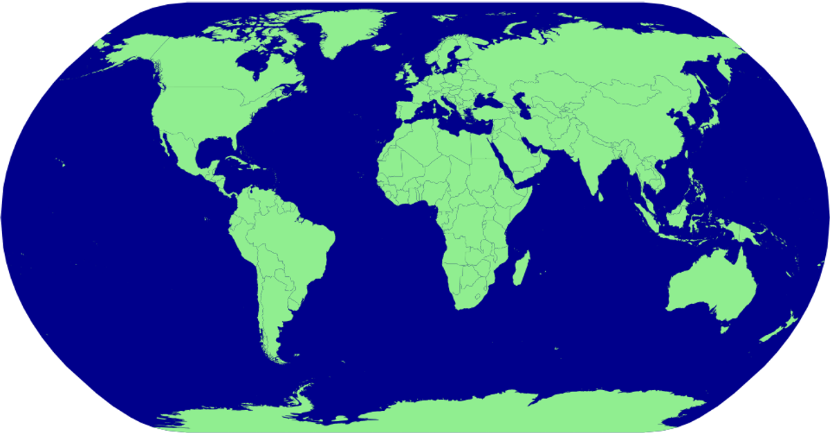
AI-generated descriptionA basic world map.
See also:
MIT Licensed




Comments
Sign in to join the discussion.