🌍 Public
ICE8 Jerline world map
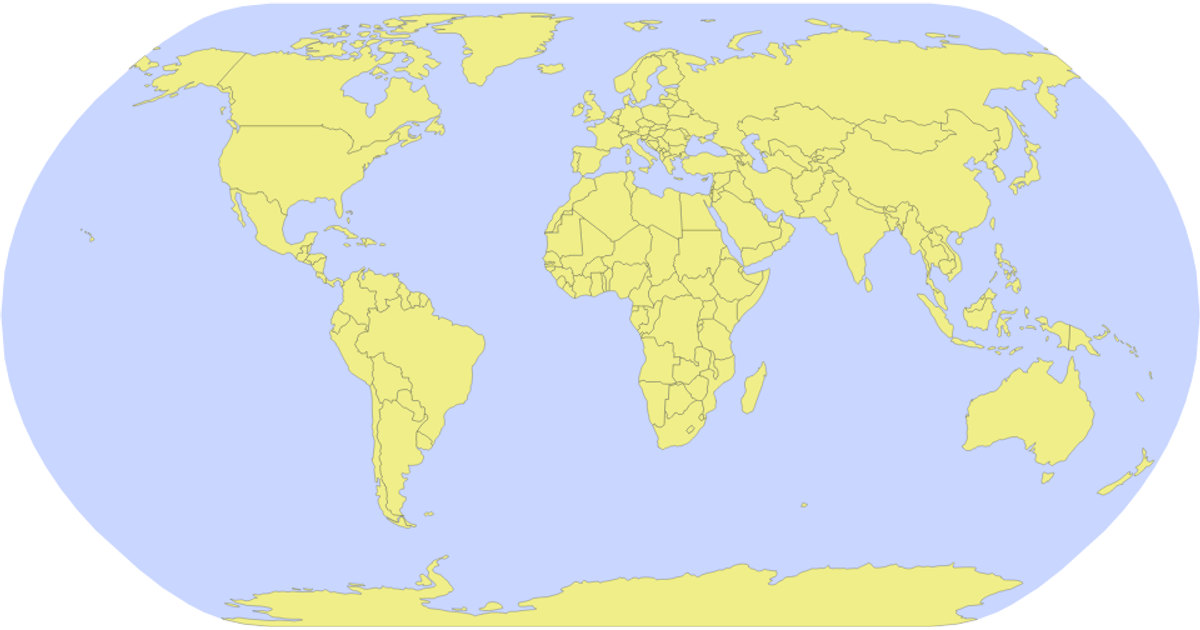
This example displays a world map of countries as colored paths on a natural Earth projection, with a purple sphere background and red-bordered beige country shapes. It uses D3 v5’s `geoNaturalEarth1` and `geoPath` to render geographic features, while TopoJSON’s `feature` converts the world-atlas 110m dataset into GeoJSON. The SVG is populated by appending a sphere path and then country paths asynchronously fetched from the unpkg-hosted JSON file, with styling applied via CSS classes.
AI-generated descriptionMIT Licensed


Comments
Sign in to join the discussion.