🌍 Public
p
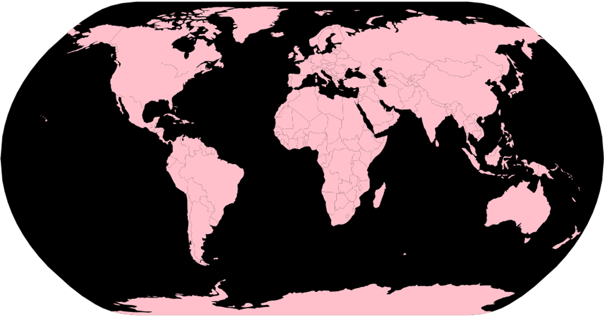
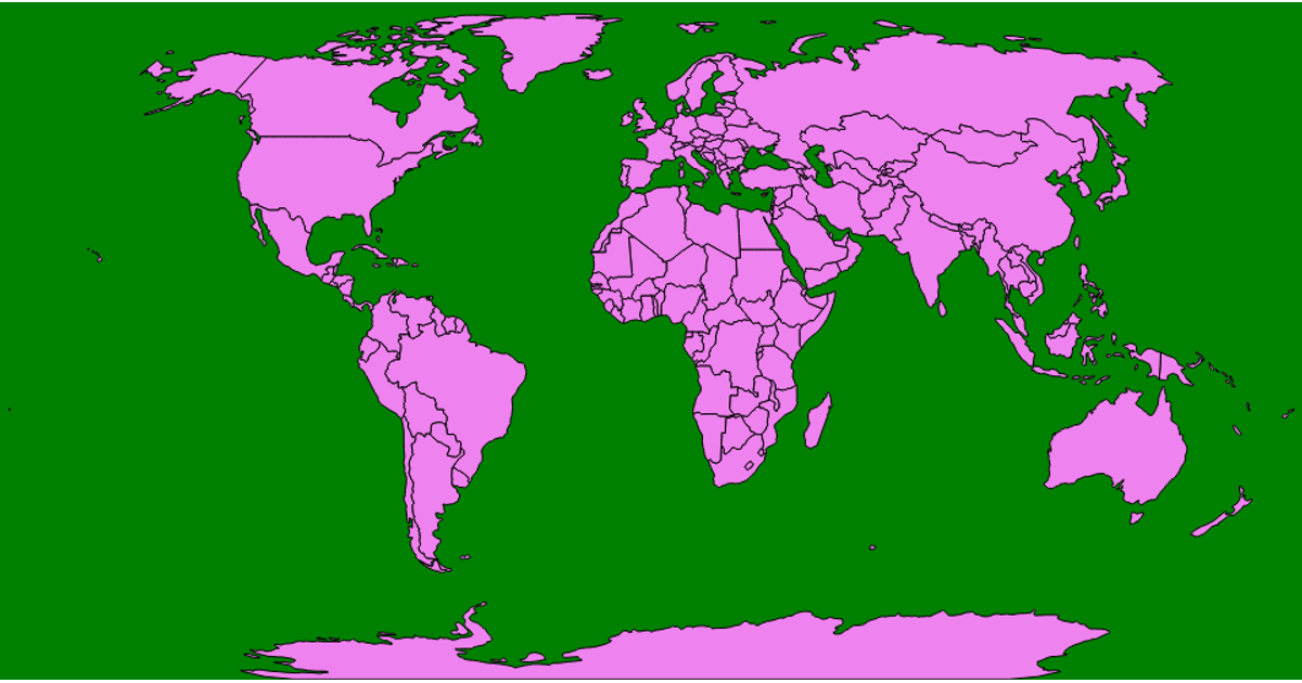
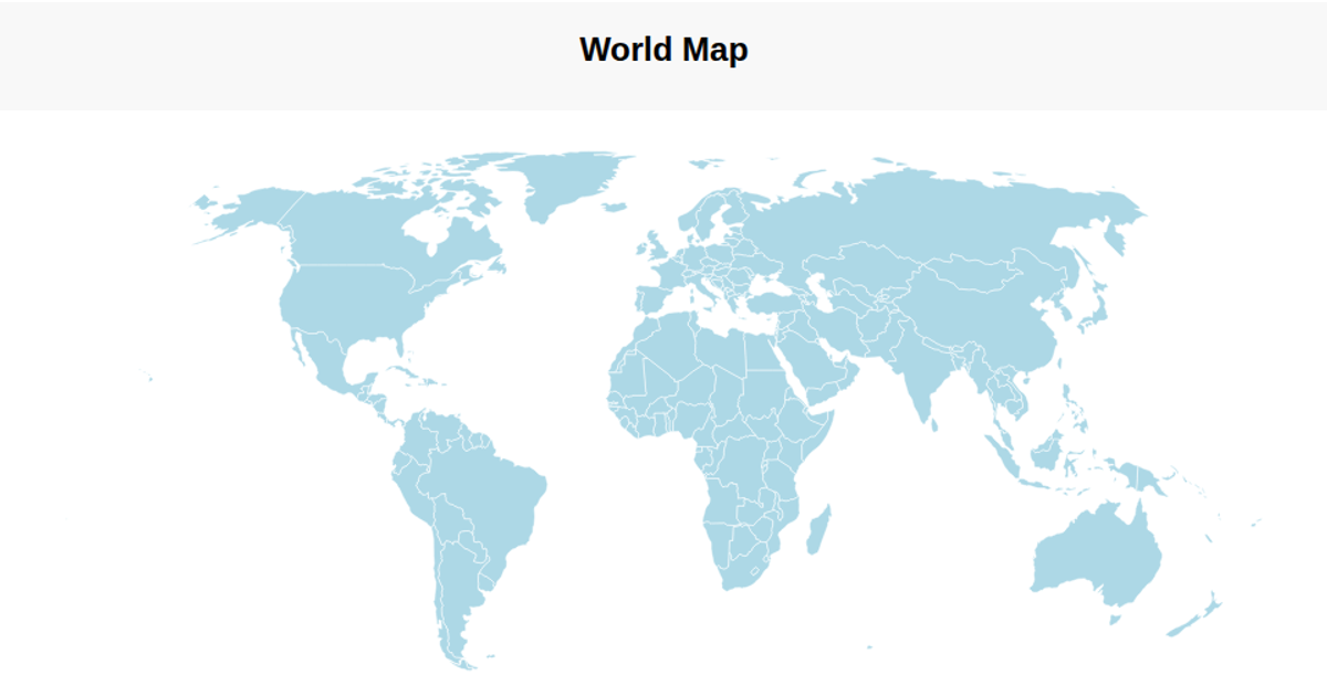
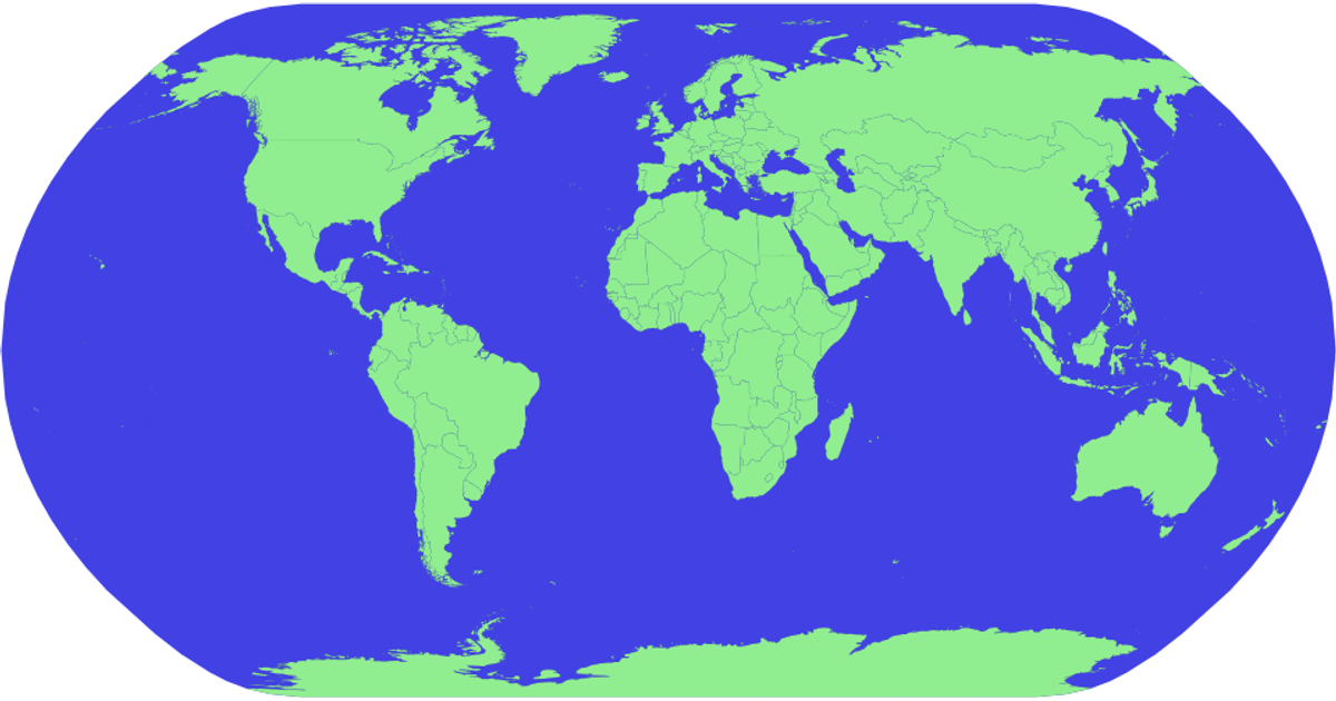
This example displays a world map with pink country shapes on a light blue background, using a natural Earth projection. It loads geographic data from the World Atlas TopoJSON file, converts it to GeoJSON with topojson.feature, and renders each country as an SVG path using d3.geoPath with the d3.geoNaturalEarth1 projection. The visualization is minimal, showing only country boundaries with black strokes and no additional interactivity or labels.
AI-generated descriptionMIT Licensed




Comments
Sign in to join the discussion.