🌍 Public
Lucknow Map
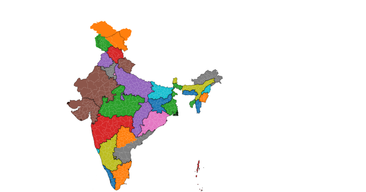
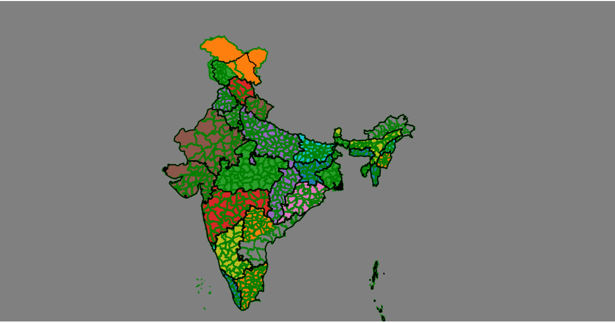
This map displays the administrative zones of Lucknow, India, rendered as filled teal polygons with subtle interior boundaries and graticule lines over a light gray sphere. The visualization uses React to manage the component state and d3-geo, specifically the `geoNaturalEarth1` projection and `geoPath`, to transform and draw the geographic features. It loads a GeoJSON file containing the zone boundaries, which is filtered and converted into SVG paths for display. The styling, including the fill colors and stroke widths, is defined in a separate CSS file to create a clean, polished appearance.
AI-generated descriptionA world map showing country boundaries from World Atlas TopoJSON, polished for visual style, including graticules.
MIT Licensed





Comments
Sign in to join the discussion.