🌍 Public
World map
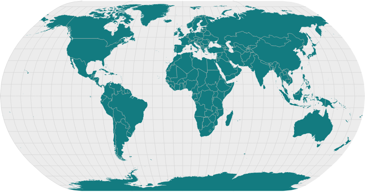
This example presents a world map with countries and landmasses rendered in a stylized SVG projection. The visualization uses a geoNaturalEarth1 projection and d3.geoPath to draw sphere, graticules, land, and interior boundaries, with data sourced from world-atlas. The React app fetches topology via d3.json, then processes it with topojson's feature and mesh functions. A Poppins font and teal color scheme distinguish land and interiors.
AI-generated descriptionA scatter plot of Data Canvas Sense Your City Dataset.
MIT Licensed



Comments
Sign in to join the discussion.