🌍 Public
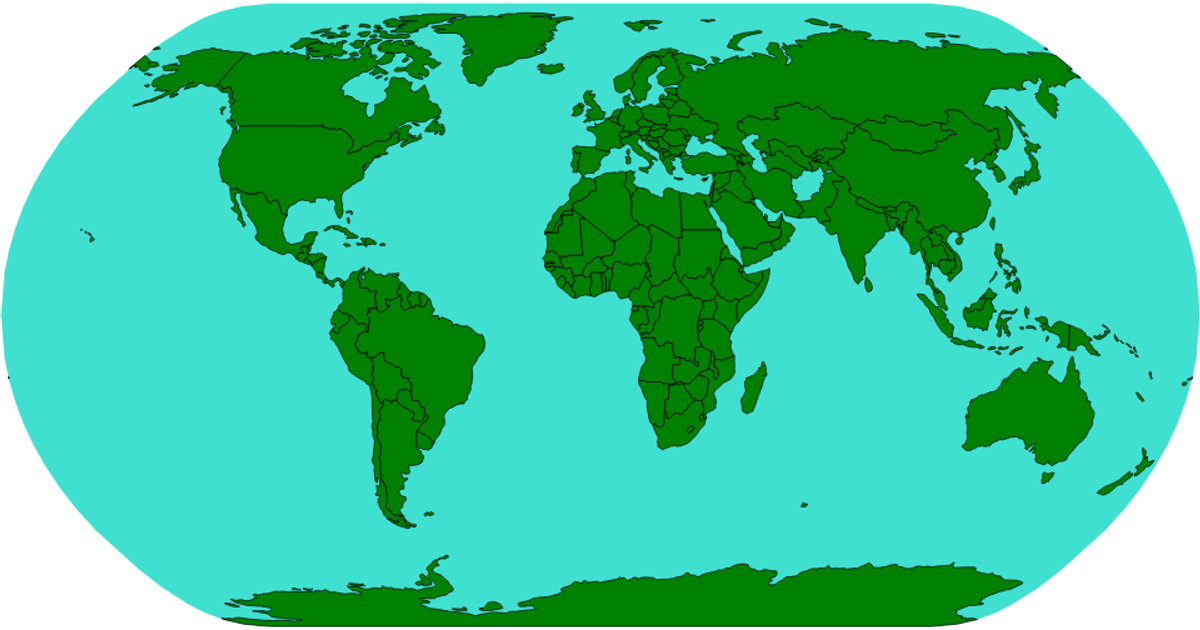
Basic World Map
This example uses a world-atlas dataset to display an orthographic projection of the Earth. It renders country boundaries as SVG paths with the d3.geoPath and d3.geoOrthographic functions, while adding a grey sphere as the background. The map loads geographic data from a remote JSON file and converts it using the topojson feature API.
AI-generated descriptionMIT Licensed




Comments
Sign in to join the discussion.