🌍 Public
Fork of line_graph_Niharika
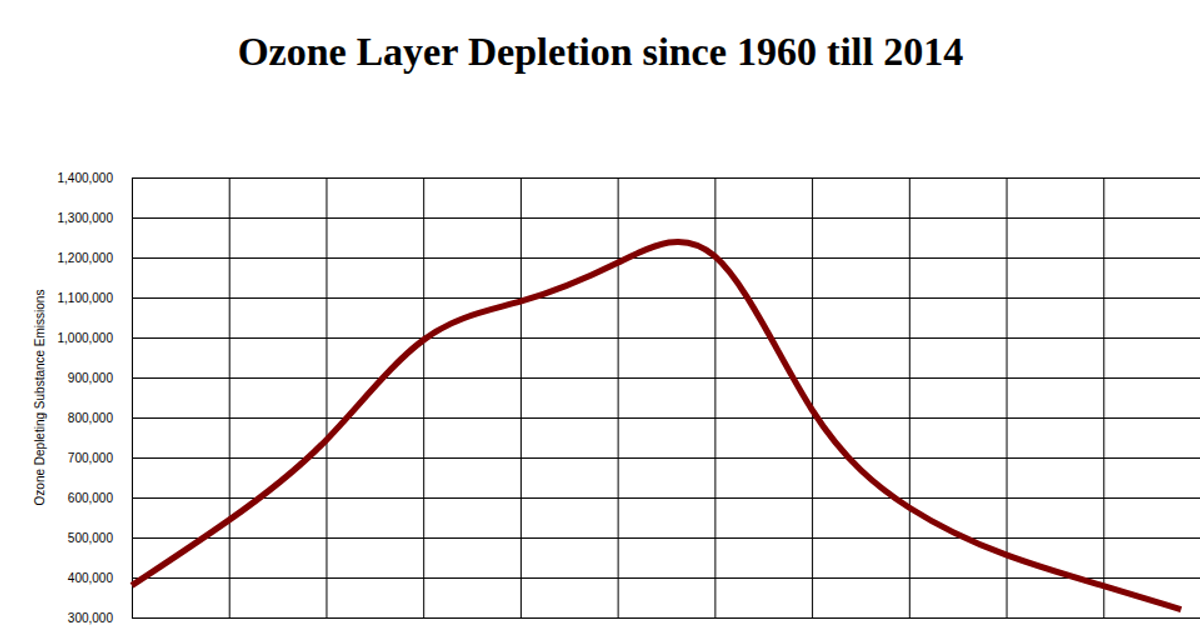
This line chart visualizes pollution levels over time, using a smooth, curved line to connect data points. The visualization is built with D3 v5 and rendered as an SVG, with axes labeled for "Year" and "pollution." The code uses D3's `scaleLinear`, `axisBottom`, `axisLeft`, and `line` with `curveBasis` to generate the path. Data is loaded from a gist CSV file containing pollution percentages.
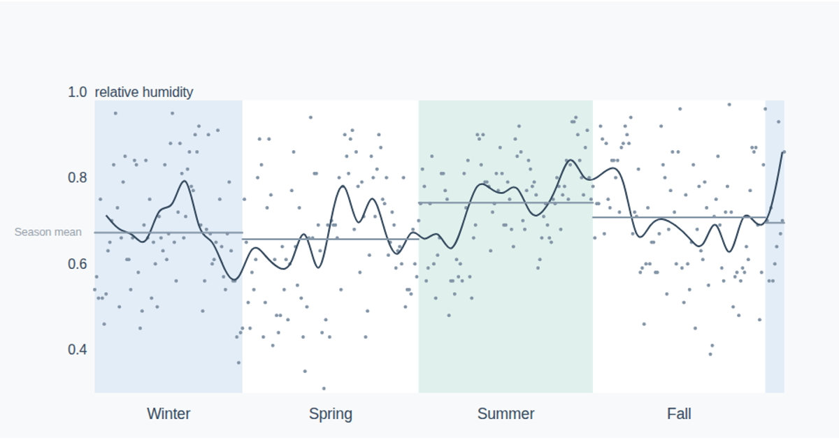
AI-generated descriptionThis line chart shows one week of temperature (in degrees Celcius) in San Francisco. The data comes from Data Canvas - Sense Your City.
Made in this video:
MIT Licensed





Comments
Sign in to join the discussion.