Fork of Polished World Map
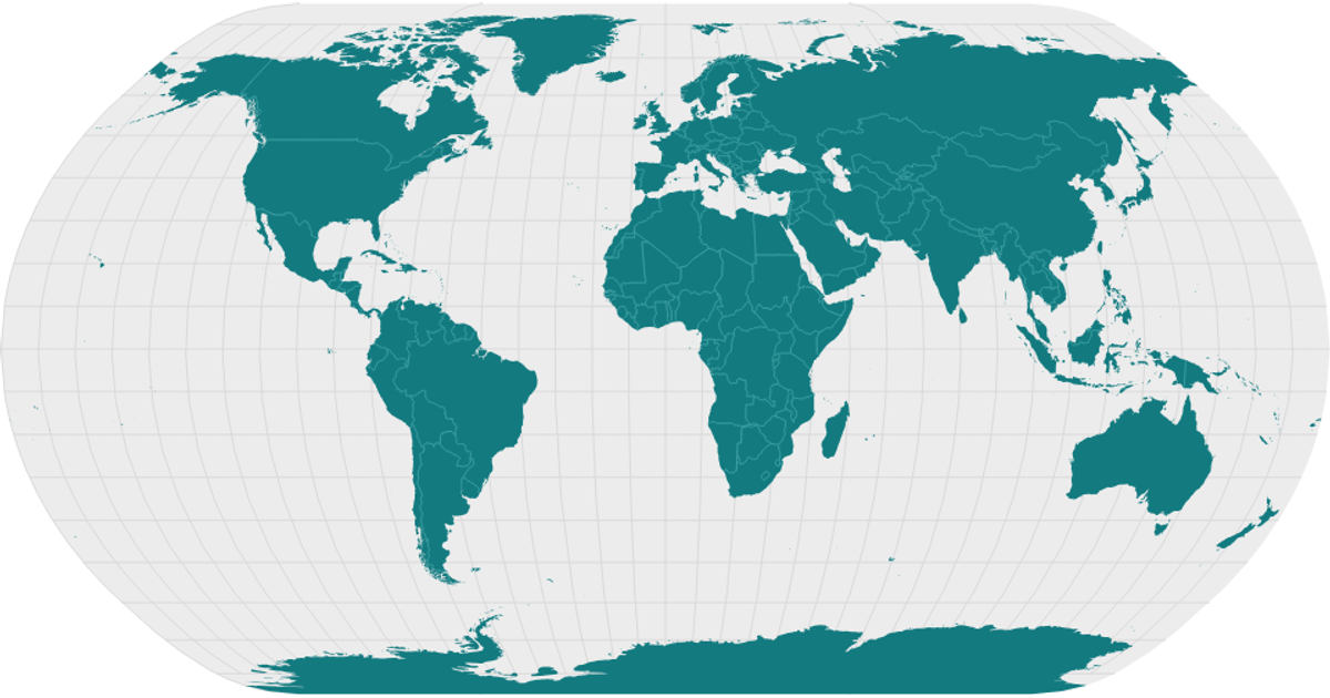
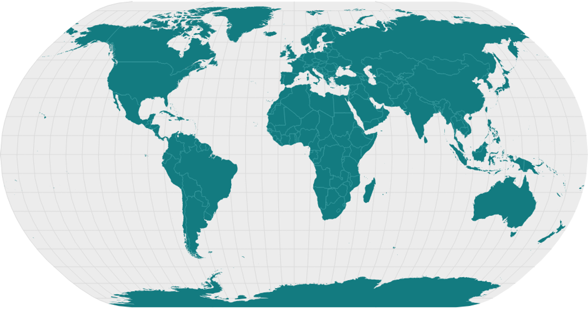
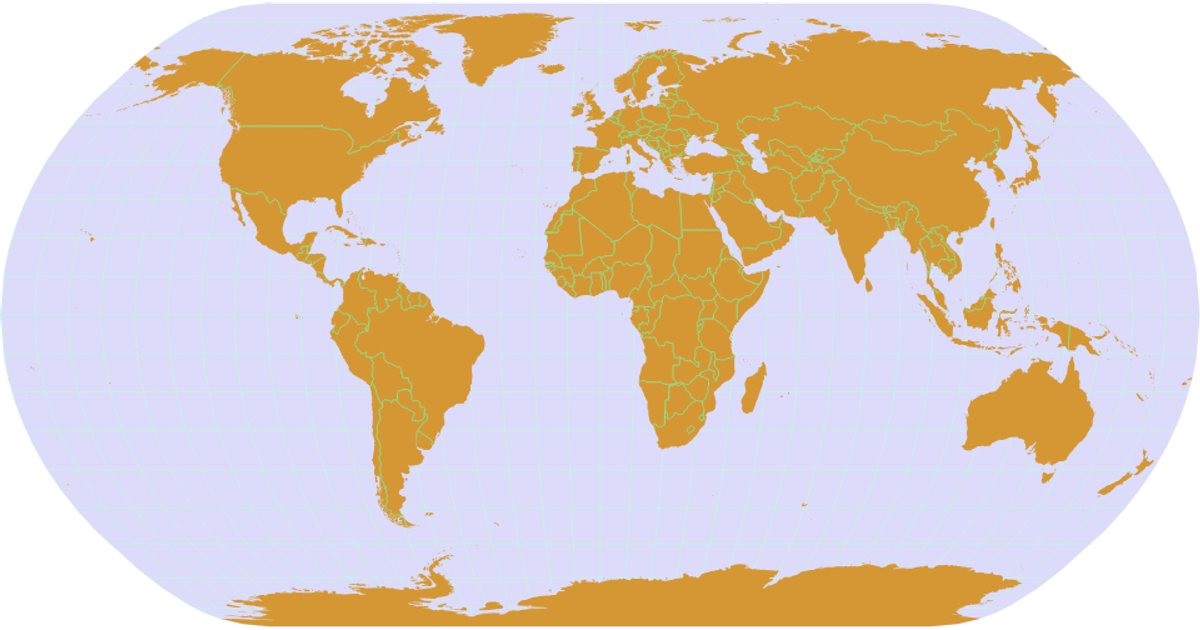
This example showcases a polished world map visualization, rendering country boundaries with a natural Earth projection. Graticules, depicting latitude and longitude lines, overlay the map, while interior country borders are highlighted with a distinct stroke color. The map is constructed using D3’s `geoNaturalEarth1` projection and `geoPath` for drawing, with geospatial data loaded from the World Atlas TopoJSON. The application is built with React, using D3’s `json` function to fetch topology and the `topojson` library’s `feature` and `mesh` to process the data. The SVG output is styled through CSS for a clean, modern aesthetic.
AI-generated descriptionA world map showing country boundaries from World Atlas TopoJSON, polished for visual style, including graticules.




Comments
Sign in to join the discussion.