🌍 Public
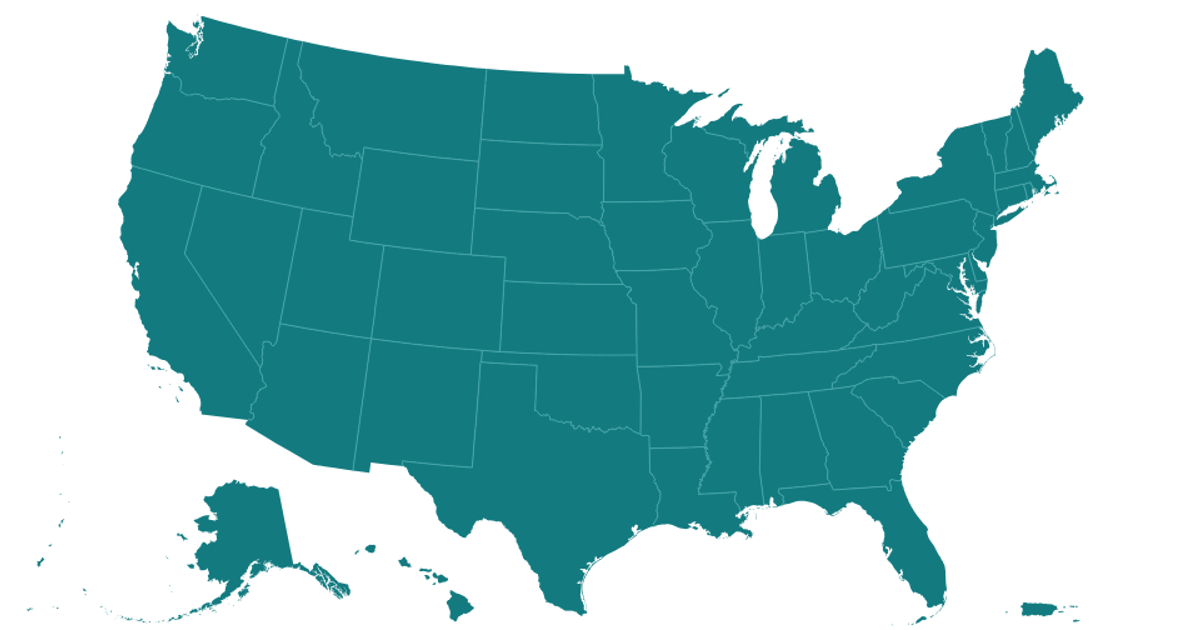
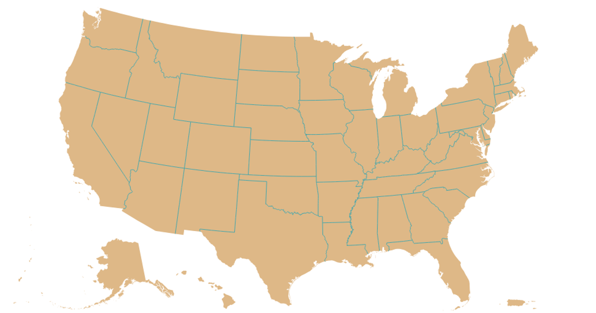
Base US Map
NNicholas Smith
Last edited Oct 15, 2019
Created on Oct 15, 2019
Forked from Top Cocktail Ingredients with Interactive Legend
This example displays a base map of the United States with its state boundaries rendered as semi-transparent white polygons with black strokes. The visualization uses a React component that fetches TopoJSON data from the us-atlas CDN and converts it to GeoJSON features using the `feature` and `mesh` functions from the TopoJSON library. The map is drawn with SVG paths created by `d3.geoPath` and the `geoAlbers` projection, which is applied to each state feature in the `Marks` component.
AI-generated descriptionA base file of a US map
MIT Licensed




Comments
Sign in to join the discussion.