🌍 Public
So... here is the Earth
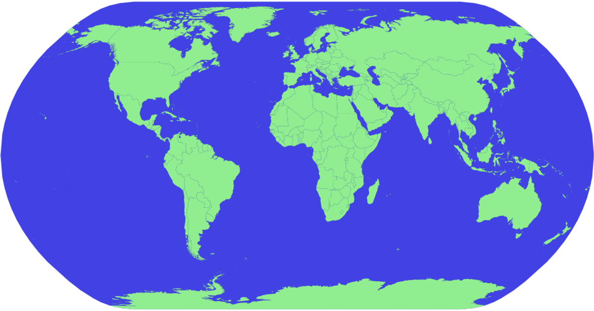
This interactive map shows the Earth with countries rendered in green and the ocean in blue. Clicking a country fills it in gold and displays its name in the upper-left corner. The visualization uses D3 v5 with the geoNaturalEarth1 projection and geoPath for landmasses, while topojson converts the world atlas data. Country names come from a TSV file, and interactions are handled through D3’s event system.
AI-generated descriptionMIT Licensed






Comments
Sign in to join the discussion.