🌍 Public
Cheap Tricks for Interaction
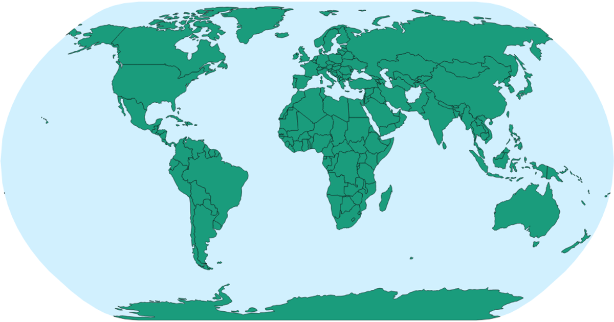
This example shows a world map rendered with D3 v5, using Natural Earth projection and TopoJSON data. Users can pan and zoom the map via d3.zoom. Hovering over a country turns it red, with country names available as tooltips via SVG `<title>` elements. The code uses d3.geoNaturalEarth1, d3.geoPath, and d3.event for interactions.
AI-generated descriptionMIT Licensed




Comments
Sign in to join the discussion.