🌍 Public
Interactive WorldMap for Zara and Nike Shops
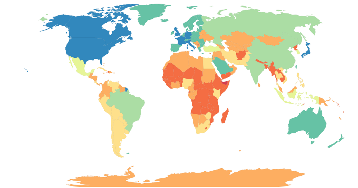
This interactive world map visualizes the distribution of Zara and Nike shops, with each country colored according to its economy classification. Built with D3.js v5, it uses a natural Earth projection (`d3.geoNaturalEarth1`) and `d3.geoPath` to render countries from TopoJSON data loaded via `topojson.feature`. The map supports pan and zoom through `d3.zoom`, and hovering over a country changes its fill to red while a tooltip shows the country name and economy value. Color encoding uses a spectral scale from `d3.schemeSpectral`.
AI-generated descriptionDemonstrates fundamental DOM manipulation using D3.js by making a smiley face whose eyebrows move.
MIT Licensed




Comments
Sign in to join the discussion.