🌍 Public
Choropleth Map
BBKirst3
Last edited Mar 7, 2021
Created on Mar 7, 2021
Forked from Fork of Let's make a map with D3 (Tricks).js!
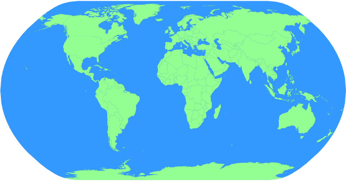
This choropleth map displays world countries using a natural Earth projection, with country boundaries rendered as interactive SVG paths. The visualization uses D3 v6 and TopoJSON to load and convert world-atlas data from unpkg, employing `d3.geoNaturalEarth1` and `d3.geoPath` for projection and path generation. Hovering over a country changes its fill from green to red, while a zoom behavior (`d3.zoom`) allows panning and scaling the entire map. The sphere background is filled blue, and country names appear as tooltips via SVG title elements.
AI-generated descriptionMIT Licensed






Comments
Sign in to join the discussion.