🌍 Public
World Map viz
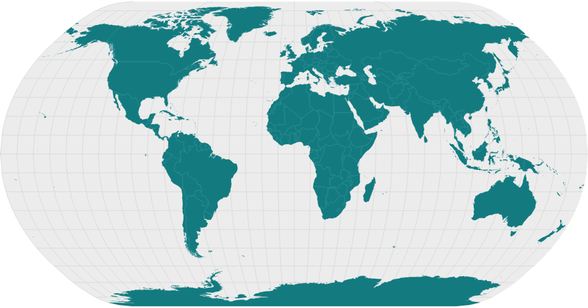
This visualization displays the world’s landmasses in teal on a light gray natural Earth projection, with white borders separating countries. Built with React and D3 v5, it uses `d3.geoNaturalEarth1` and `d3.geoPath` to project and render SVG paths from TopoJSON data loaded from the world-atlas package. The `topojson.feature` and `topojson.mesh` APIs extract land polygons and country boundaries, while distinct CSS classes style the sphere, land, and interior strokes.
AI-generated descriptionMIT Licensed



Comments
Sign in to join the discussion.