🌍 Public
Fixed projection for US States
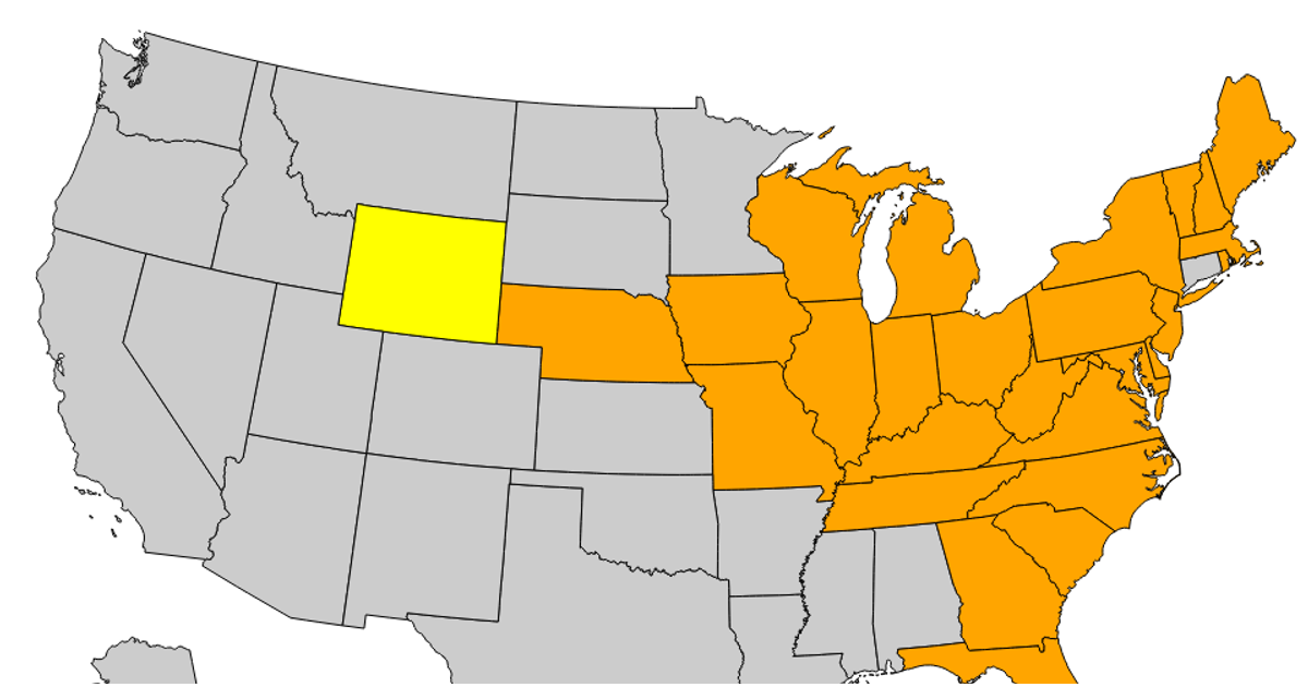
This example displays a choropleth map of the United States, with states grouped into four color-coded regions: Northeast, Midwest, South, and West. It uses `d3.json` to load US TopoJSON data from `us-10m.v1.json`, then `topojson.feature` and `topojson.merge` to extract and combine state geometries by region. The paths are rendered as SVG elements using `d3.geoPath`, with regions filtered by state FIPS codes.
AI-generated descriptionMIT Licensed




Comments
Sign in to join the discussion.