🌍 Public
Click the Countries for Interaction
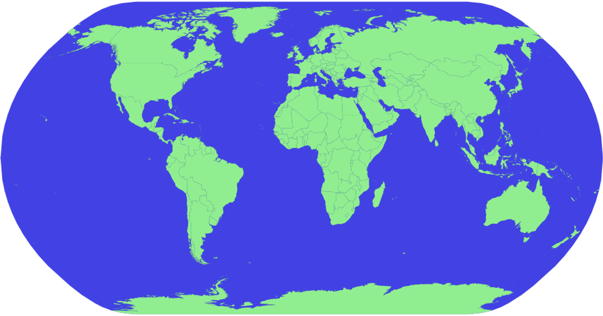
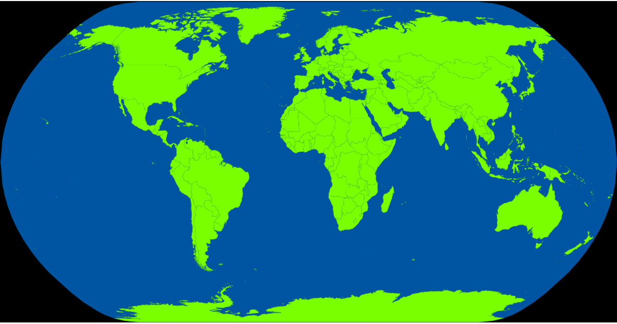
This interactive map illustrates world countries and allows users to click individual nations to toggle their fill color between light green and yellow. Built with D3 v5 and TopoJSON, it renders geographic features using the `geoNaturalEarth1` projection and `geoPath` generator. The visualization includes zoom and pan capabilities via `d3.zoom`, with country name tooltips from a TSV dataset. Clicking a country updates an array of selected IDs, triggering a re-render that recolors the clicked nation.
AI-generated descriptionMIT Licensed






Comments
Sign in to join the discussion.