🌍 Public
Fork of Simple World Map
This interactive world map uses a D3 orthographic projection to display global submarine cable networks, rendered as colored paths over country boundaries and graticule lines. The visualization reacts to drag gestures by adjusting the map’s rotation via `d3.drag`, while zoom behavior scales the projection using `d3.zoom`. Geographic data comes from the world-atlas TopoJSON and submarine cable features, processed with `topojson.feature` and drawn through `d3.geoPath`. The React implementation manages state updates for rotation, scale, and translation within the `main` function.
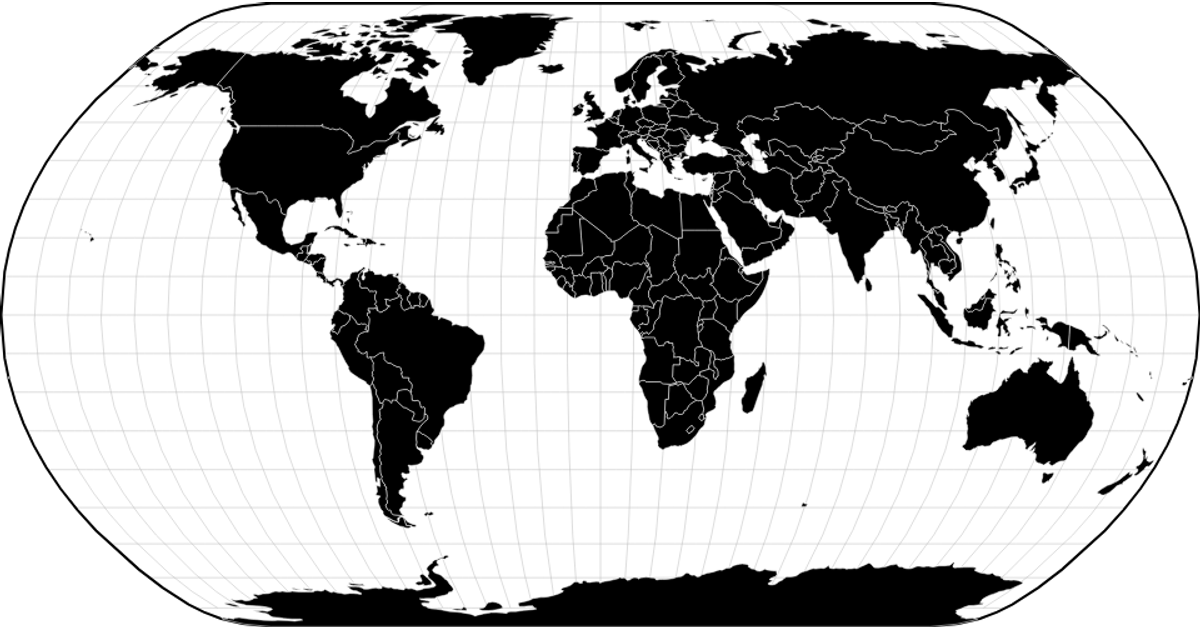
AI-generated descriptionA basic world map.
See also:
MIT Licensed




Comments
Sign in to join the discussion.