🌍 Public
Cheap tricks for interaction
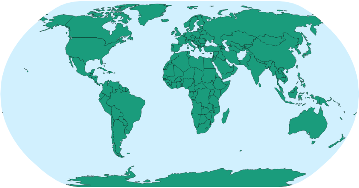
This example shows a zoomable world map highlighting national borders and country names based on a CSV dataset. The map uses a natural Earth projection and renders geographic features with `d3.geoPath` and TopoJSON from the world-atlas package. Pan and zoom interactions are implemented with the `d3.zoom` API, while hover effects change country fills via CSS. The code fetches country names from a CSV file and builds a lookup table with `csv().then()` to attach tooltips.
AI-generated descriptionMIT Licensed


Comments
Sign in to join the discussion.