🌍 Public
USA Map with TopoJson Anusha
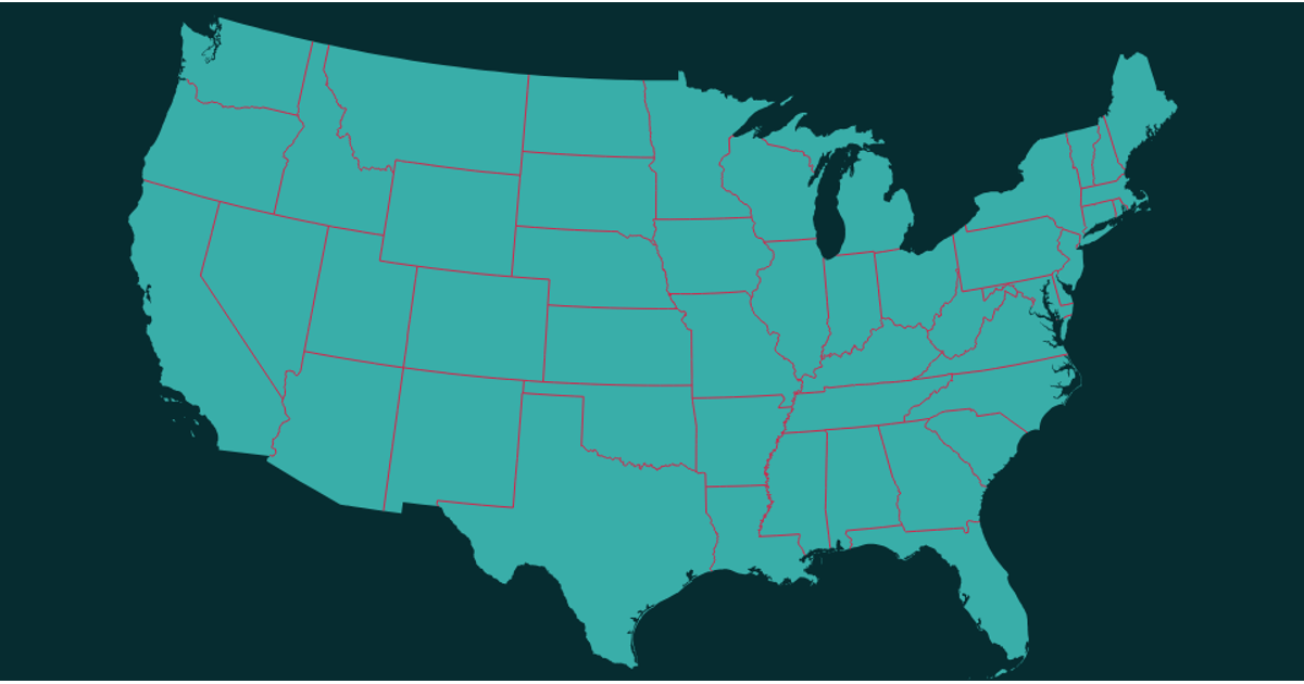
This example displays a map of the United States by rendering the nation’s outline and state boundaries as solid blue shapes on a large SVG canvas. It loads geographic data from the us-atlas TopoJSON file and converts it using the topojson.object API. The map is drawn with D3.js v3, using d3.geo.path with a Mercator projection to generate the SVG path data. The page relies on the d3.v3 library and topojson.v0 for data processing.
AI-generated descriptionMIT Licensed




Comments
Sign in to join the discussion.