🌍 Public
RS Cheap Tricks for Interaction
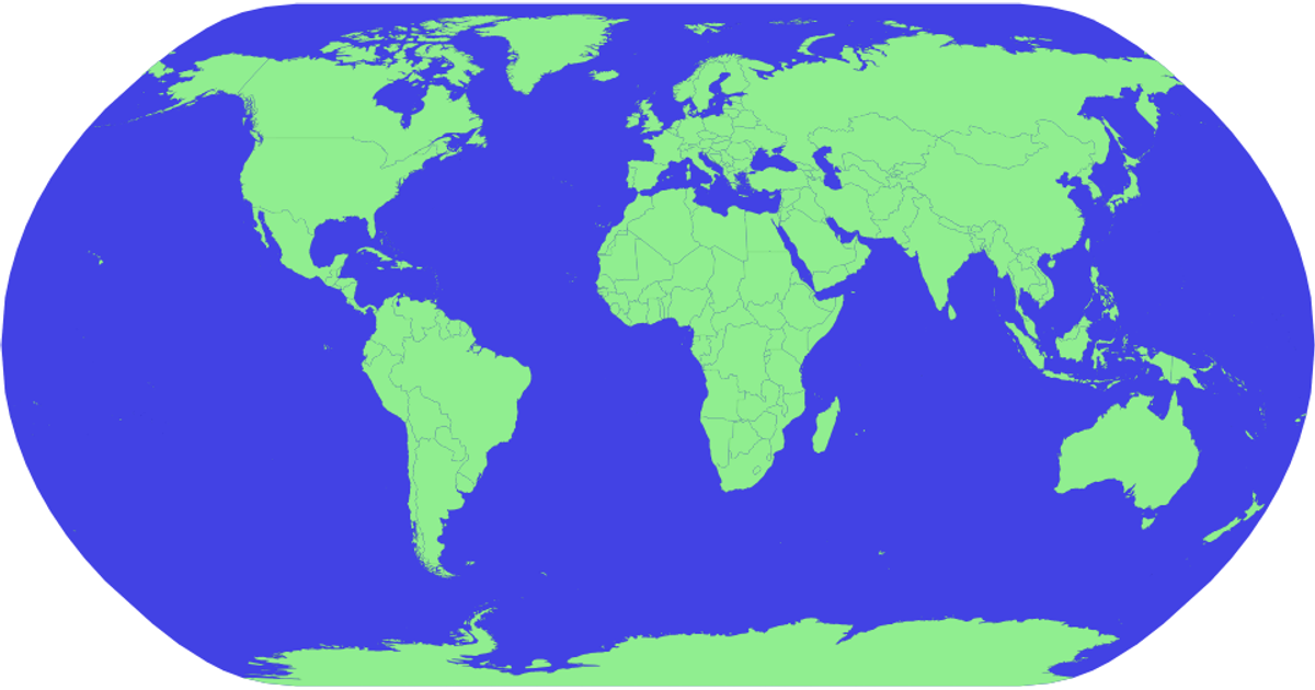
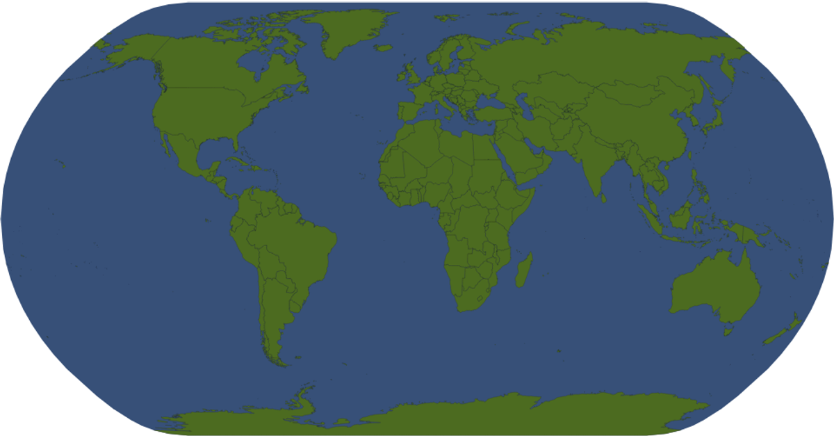
This example displays an interactive world map with country labels derived from the Natural Earth dataset. D3 v5 and topojson render the geographic features as SVG paths using a natural Earth projection. Users can pan and zoom the map via `d3.zoom`, while hovering over any country highlights it in red through CSS. The map loads geographic data and ISO codes from a TopoJSON file and TSV, respectively.
AI-generated descriptionMIT Licensed


Comments
Sign in to join the discussion.