🌍 Public
Charan Fork of India Map
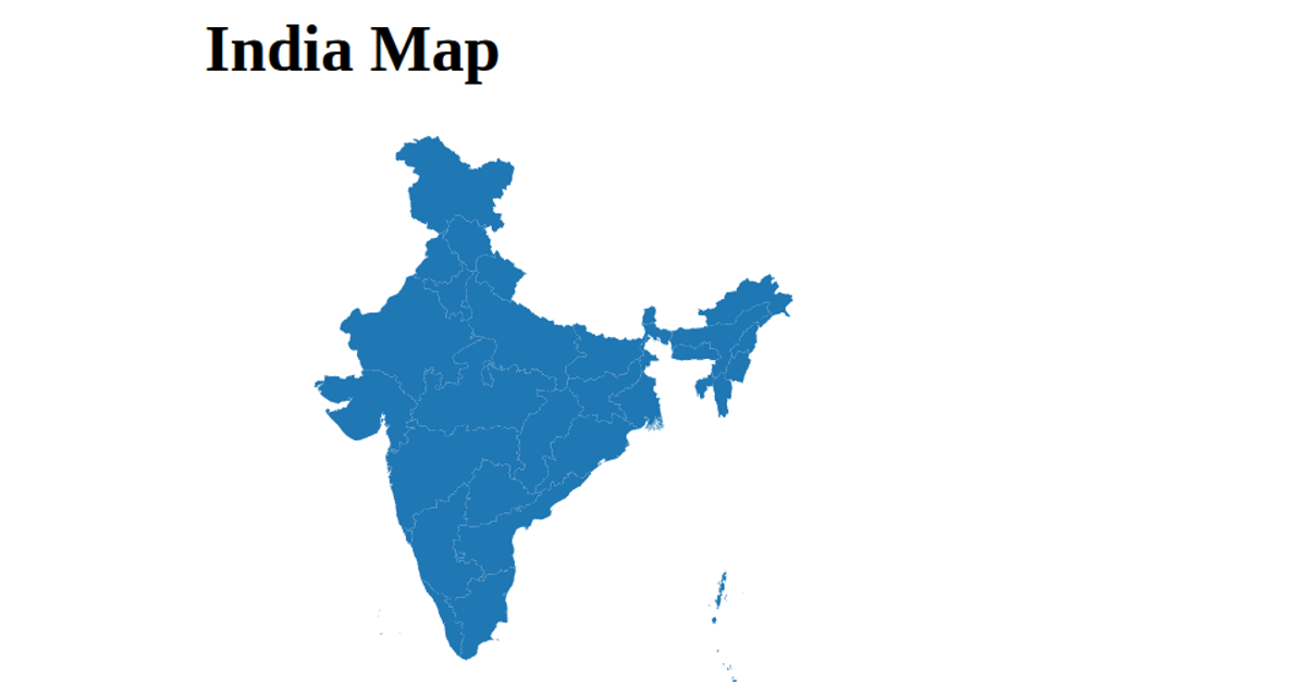
This fork displays a choropleth-style map of India, rendered as a single SVG path per state with a uniform salmon fill (#ffa789). The geographic data originates from a GitHub-hosted TopoJSON file, which is converted to GeoJSON features using `topojson.feature`. React renders each state path, while D3’s `geoMercator` projection and `geoPath` API handle the map’s projection and geometry. The visualization adapts to the browser window’s dimensions, centering the map on coordinates 80°E, 19.7°N, and shows a loading message until the data is fetched.
AI-generated descriptionMIT Licensed






Comments
Sign in to join the discussion.