🌍 Public
Let's make a map with d3.js!
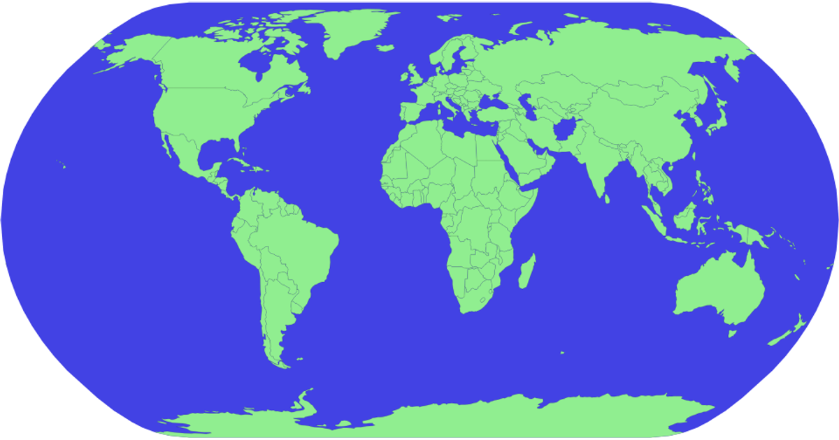
This example displays a world map rendered as SVG paths, with countries filled in pale yellow against a dark blue ocean. The code loads geographic data from the world-atlas package and uses `d3.geoPath` with the `geoNaturalEarth1` projection to draw both the spherical background and country boundaries. It relies on the `topojson` library’s `feature` function to convert TopoJSON into GeoJSON features, which are then appended to the SVG container. The visualization demonstrates a straightforward pipeline for generating a static, projection-based map with D3.
AI-generated descriptionMIT Licensed




Comments
Sign in to join the discussion.