🌍 Public
withoutlabel
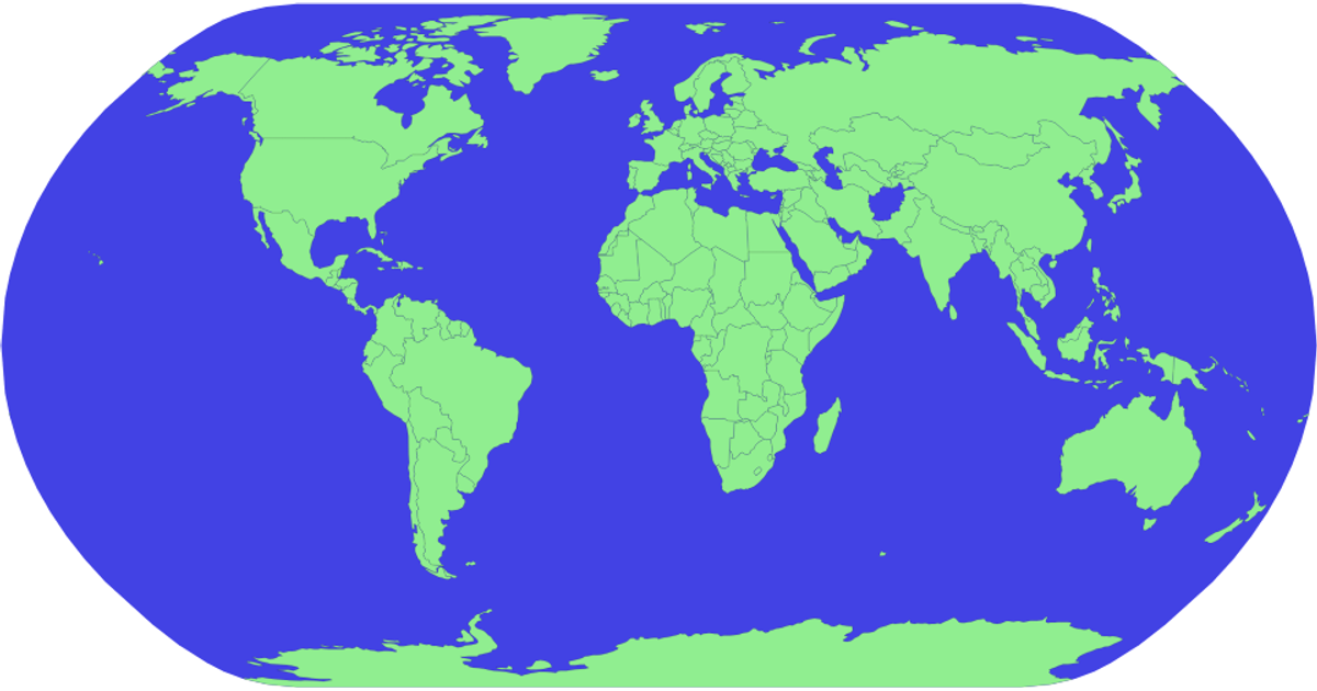
A world map rendered with D3's geoNaturalEarth1 projection displays countries as light green shapes with subtle black strokes against a dark blue sphere. The visualization uses d3.geoPath to generate SVG paths from TopoJSON data loaded from the world-atlas package, with the sphere drawn first as a background layer. The map fills a 1300 by 500 pixel SVG canvas, providing a straightforward geographic reference without supplementary labels or interactive elements.
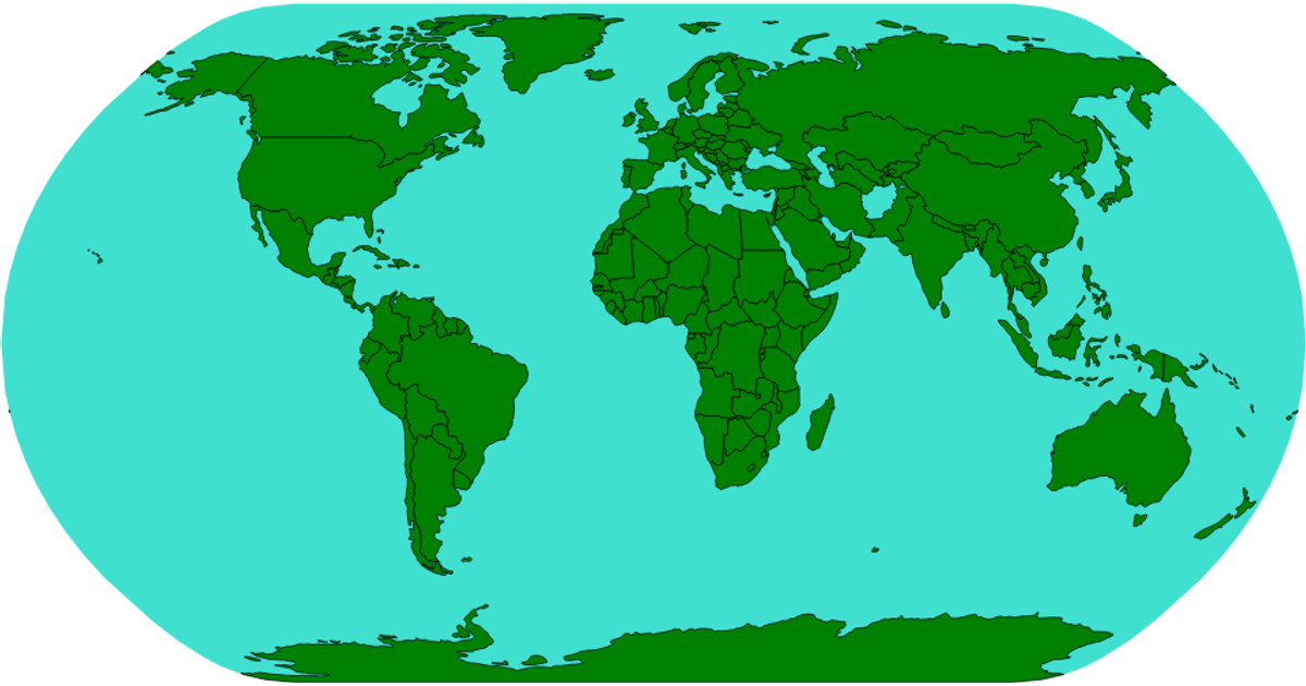
AI-generated descriptionA reproduction of a Sol LeWitt art piece.
MIT Licensed





Comments
Sign in to join the discussion.