🌍 Public
WorldMap ICE by Tejaswi_Tummala
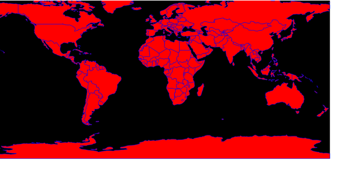
This example displays a world map using a simple equirectangular projection, with countries rendered as white paths with red outlines on a bisque-colored sphere. It relies on D3 v5’s `geoEquirectangular` and `geoPath` to generate the SVG paths, and TopoJSON’s `feature` method to parse country boundaries from the world-atlas `countries-110m.json` dataset. The map highlights countries in gray on hover, and the visualization is entirely constructed with SVG elements.
AI-generated descriptionMIT Licensed




Comments
Sign in to join the discussion.