🌍 Public
Cheap Tricks for Interaction
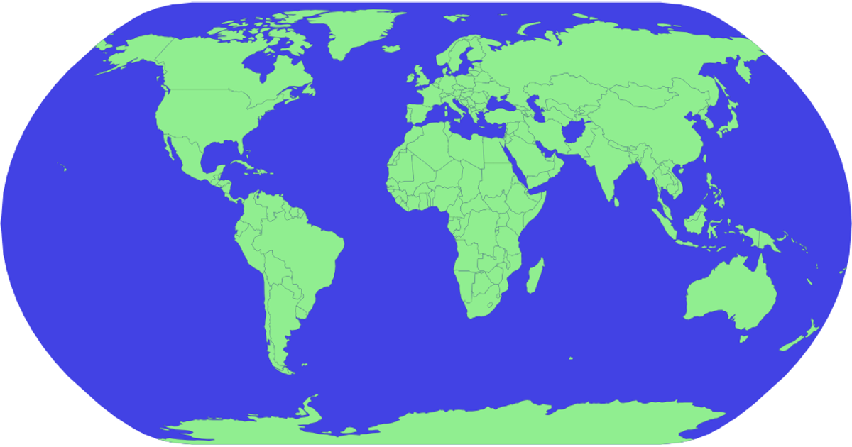
This example displays a world map using geographic data from the world-atlas package, rendered as SVG paths. It shows countries with a blue sphere background and black country outlines. The visualization uses d3.geoPath and d3.geoNaturalEarth1 to project and draw the map, while topojson.feature extracts country boundaries. Clicking a country triggers an interaction that updates a selected country state, though no visual feedback is applied; instead, the click logs a message to the console. Hovering reveals country names via SVG title elements.
AI-generated descriptionMIT Licensed




Comments
Sign in to join the discussion.