🌍 Public
Pakistan Districts Map
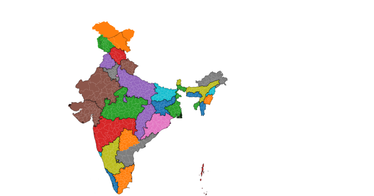
A choropleth map of Pakistan highlights every district, colored with a categorical palette, and reveals each district's name on hover. It uses a Mercator projection via `d3.geoPath` and `geoMercator`, with geographic boundaries from a remote TopoJSON file. The map is rendered as SVG, supports zooming through the zoom event, and displays a title and interaction tip.
AI-generated descriptionPakistan District Map
- All districts of Pakistan
- Hover on the areas on the map to see the name of the district
MIT Licensed



Comments
Sign in to join the discussion.