🌍 Public
Smaller map test
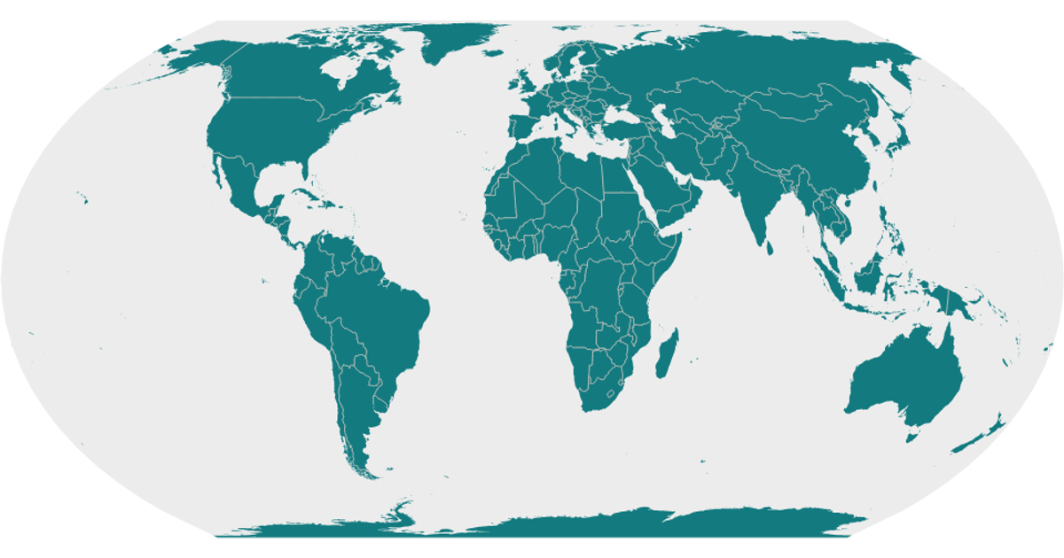
This SVG map displays the geographic boundaries of Israel, rendering the country's shape as a detailed path filled with a light gray against a darker gray backdrop. The visualization is built with React and uses D3 v5's `geoAlbers`, `geoPath`, and `geoGraticule` APIs to project and draw map features from the World Atlas TopoJSON dataset. Despite the title referencing a smaller map, the code primarily outputs the static IsraelSVG element, with additional map layers for land, interiors, and graticules defined in the Marks component.
AI-generated descriptionA world map showing country boundaries from World Atlas TopoJSON, polished for visual style, including graticules.
MIT Licensed




Comments
Sign in to join the discussion.