Fork of Migrant Deaths Linked Views with Fast Brushing
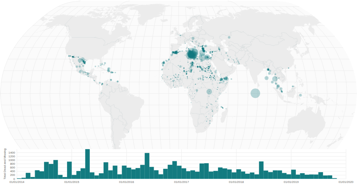
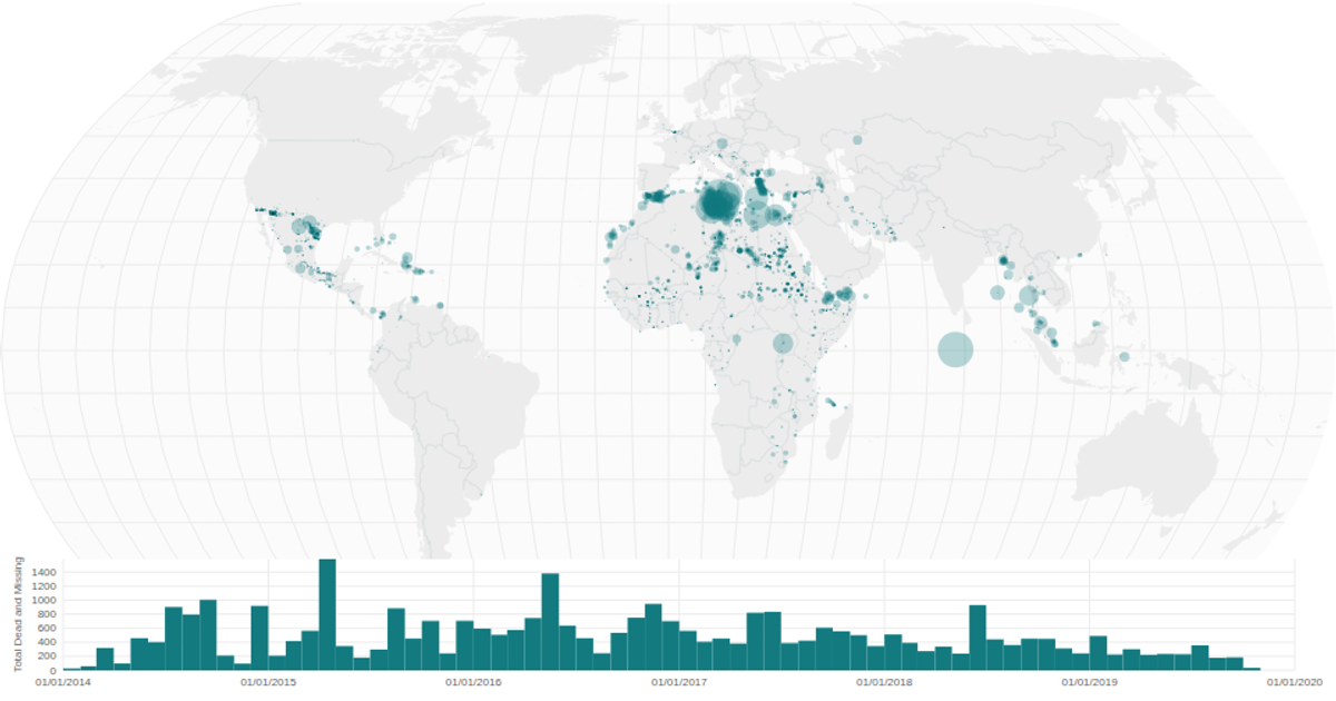
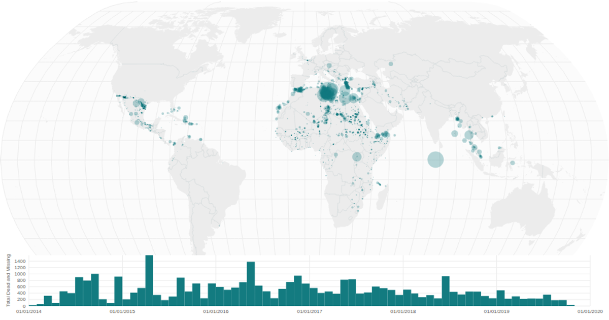
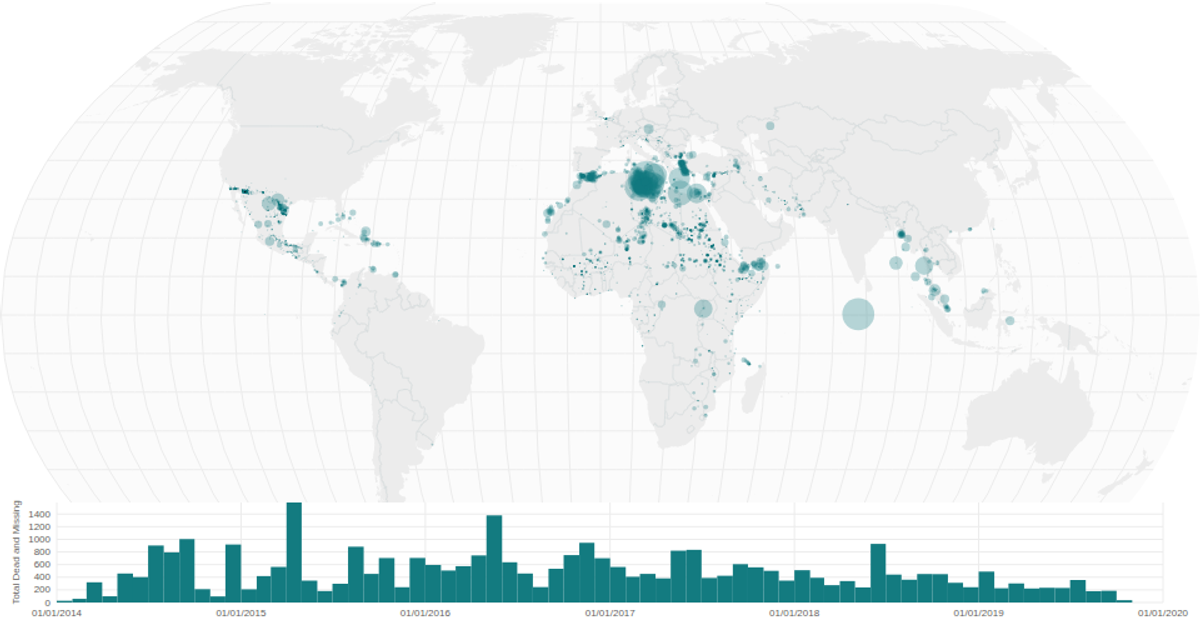
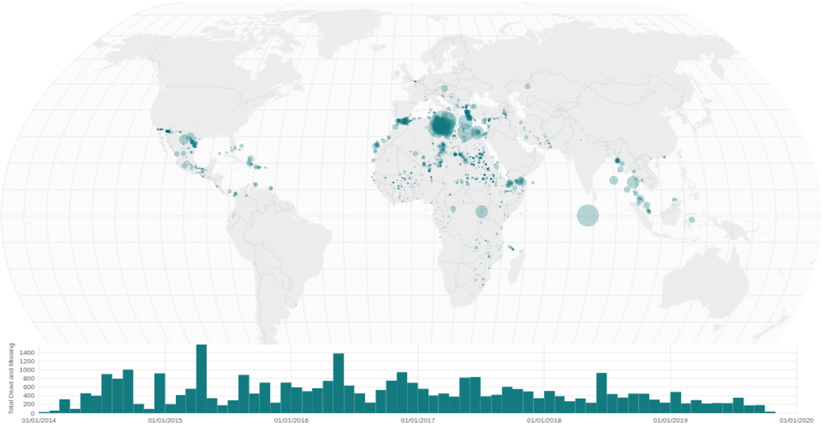
This example links a geographic bubble map of New Jersey counties with a time-series histogram, using color and size to convey the annual salary of migrant deaths. Brushing the histogram filters the map, with the selected time range visually isolated on the map. The visualization is built with React and D3 v5, using `d3.geoMercator` and `d3.geoPath` for the map projection, `d3.scaleSqrt` for bubble sizing, and `d3.brushX` for the interactive filter. Data on migrant deaths and county boundaries are loaded from CSV and TopoJSON sources.
AI-generated descriptionA world map showing cities with population greater than 50,000. City data from Simplemaps: World Cities Database.
Country boundaries from World Atlas TopoJSON, polished for visual style, including graticules.
This iteration is optimized for performance using React's useMemo hook.



Comments
Sign in to join the discussion.