🌍 Public
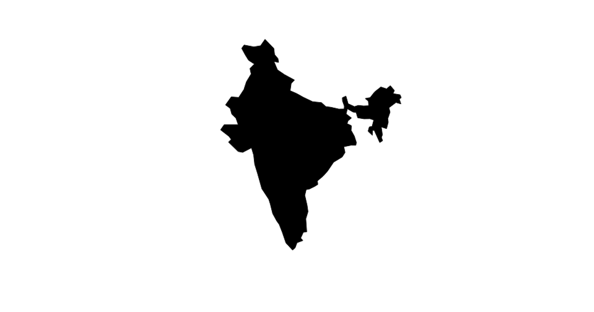
Country Map
This example displays a map of India, rendered as a single SVG path. It loads country boundary data from the world-atlas TopoJSON collection and filters for India. The code uses `d3.json` to fetch the data, `topojson.feature` to extract the geometry, and a `d3.geoMercator` projection with `d3.geoPath` to draw the landmass. The resulting path is appended to an SVG canvas sized at 960 by 500 pixels.
AI-generated descriptionA demonstration of how to start using D3 version 6.
MIT Licensed


Comments
Sign in to join the discussion.