🌍 Public
NY state map
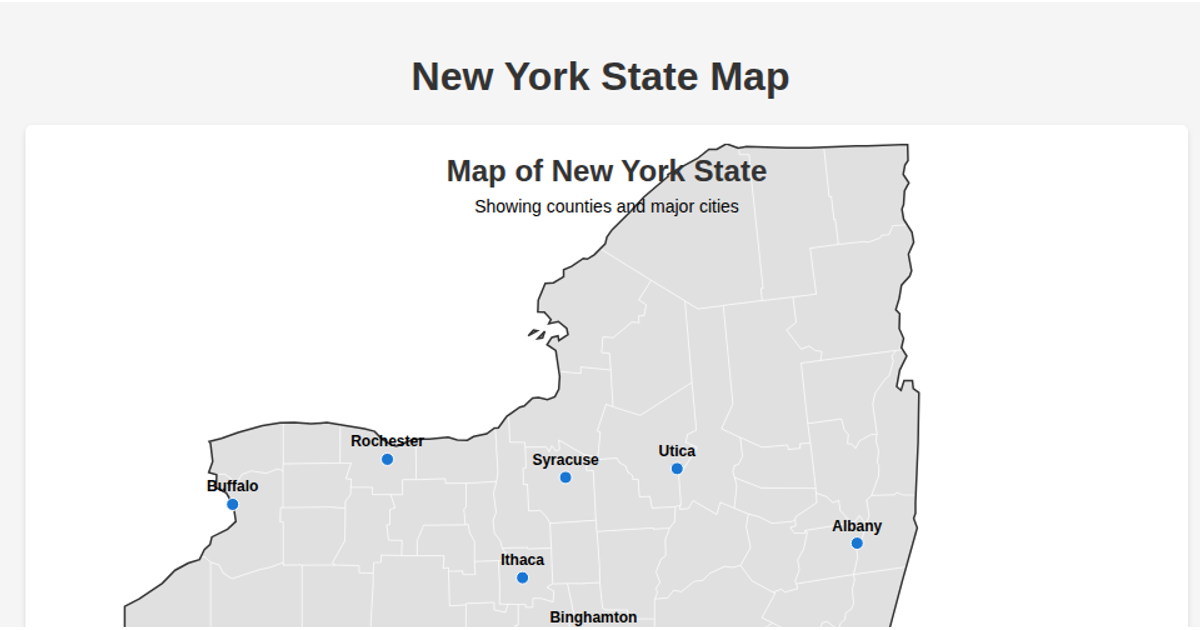
A choropleth-style SVG map displays New York State's counties, filtered from a TopoJSON US atlas by state FIPS code. The map uses the Albers USA projection via `d3.geoAlbersUsa()` and renders county boundaries with `d3.geoPath()`. D3's data join methods add, update, and remove path elements as data changes. County shapes are filled pale green with gray strokes, sized within an 800 by 900 pixel SVG.
AI-generated descriptionSimple NY County Map
This visualization displays a map of New York State counties using D3.js and TopoJSON.
The map uses the Albers USA projection focused on New York State.
MIT Licensed



Comments
Sign in to join the discussion.