🌍 Public
Fork of Let's make a map with D3.js!
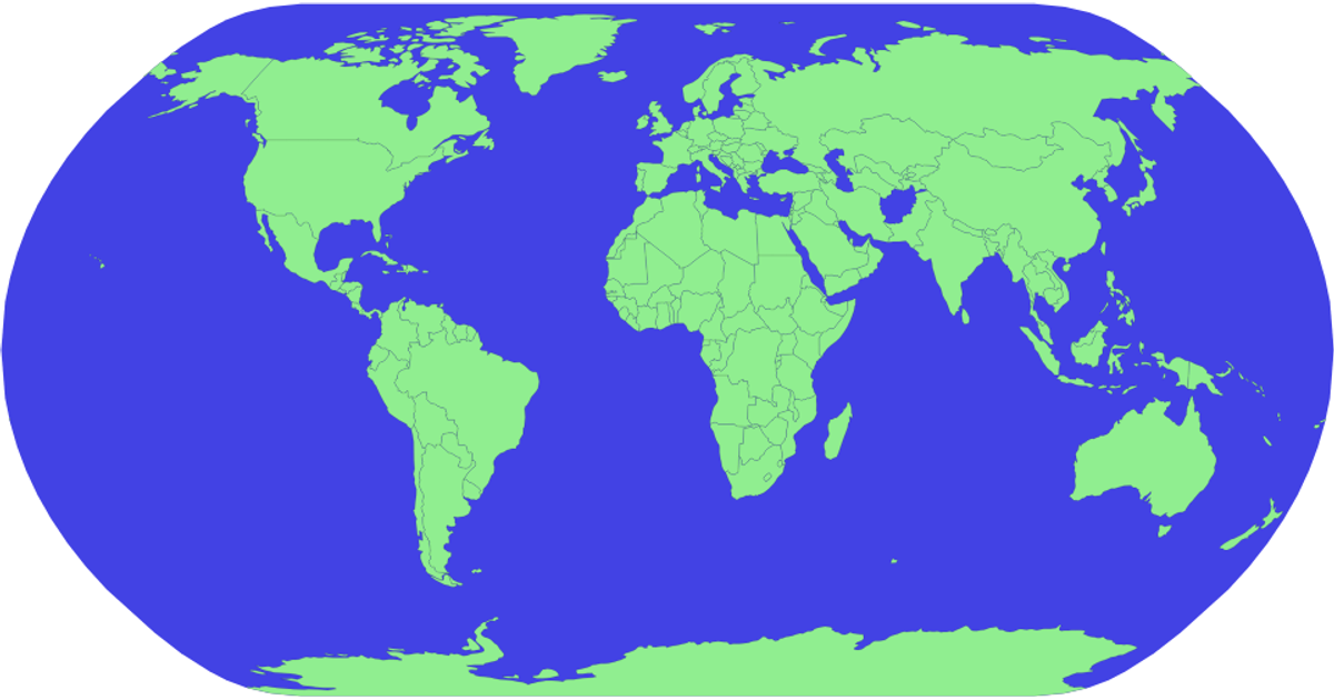
This example renders a world map using D3.js v5 and the topojson library. It projects geographic data from the world-atlas 110m GeoJSON dataset with the Natural Earth projection, drawing each country as a filled path with a subtle stroke. The visualization also displays a blue sphere representing the globe background. The code employs `d3.geoPath` and `geoNaturalEarth1` for map projection and path generation, while `topojson.feature` converts the raw topology into usable features. Styling is applied via CSS classes for the sphere and countries.
AI-generated descriptionMIT Licensed


Comments
Sign in to join the discussion.