🌍 Public
Cheap trick for interaction map
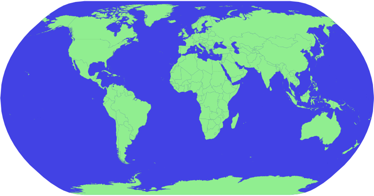
This example shows an interactive world map with country boundaries drawn in light green over a blue sphere. Hovering highlights a country in red, while zooming and panning are supported through a zoom behavior that applies transformations to the map group. The map uses D3 v5’s geoNaturalEarth1 projection and geoPath with TopoJSON data from the world-atlas package, with country names loaded from a TSV file and displayed via SVG title tooltips.
AI-generated descriptionReact Starter code.
MIT Licensed



Comments
Sign in to join the discussion.