🌍 Public
world map
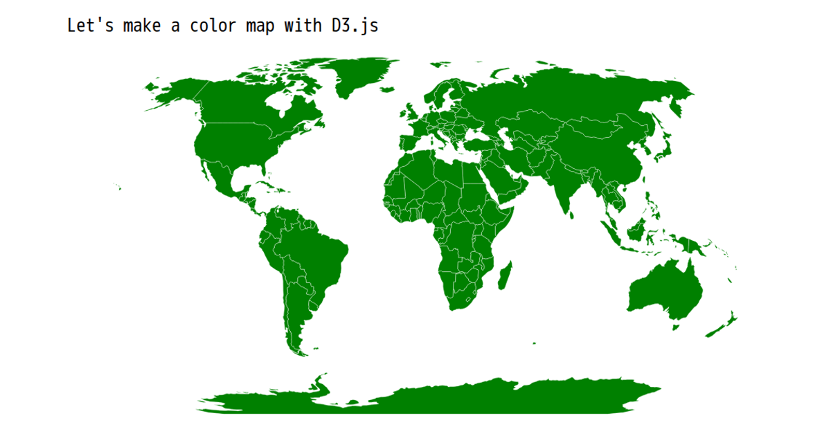
This world map visualization displays countries using a purple color scheme, with each country highlighted in a darker shade on hover. The map is rendered as an SVG using D3’s `geoNaturalEarth1` projection, with country boundaries generated via `d3.geoPath`. TopoJSON data from the world-atlas package is converted to GeoJSON using the TopoJSON client library, and the map is centered with a title at the top.
AI-generated descriptionMIT Licensed


Comments
Sign in to join the discussion.