🌍 Public
VP Parallel Coordinates with Brushing
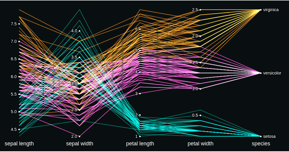
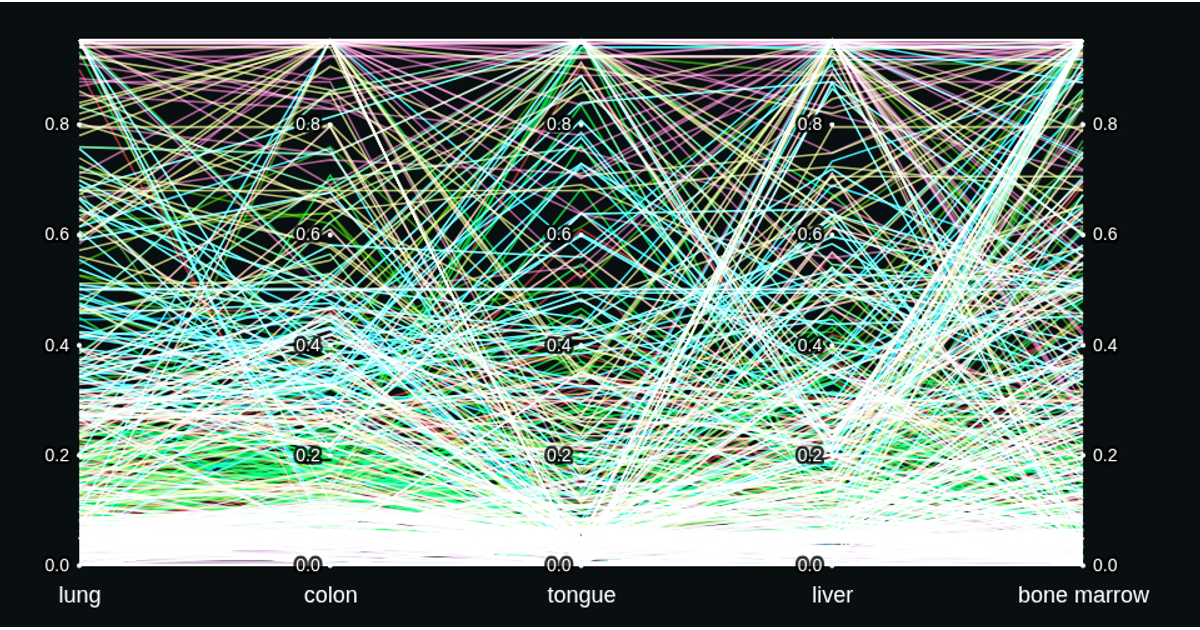
This interactive parallel coordinates visualization explores National Highway System traffic speeds, distinguishing vehicles by type and area (rural vs. urban). Built with D3.js in React, it animates filtered data as users brush along any axis to highlight matching trips, with color encoding by vehicle type and a dark, screen-blended design for readability.
AI-generated descriptionDataset
This data comes from The End Year National Highway System Median Traffic Speeds Dataset.
Some observations made: <br />
- Vehicles seem to be going faster in rural areas compared to urban
- About an even number of freight vehicles compared to passenger vehicles in rural areas
MIT Licensed



Comments
Sign in to join the discussion.