🌍 Public
Nigeria Local Government Areas hierarchy
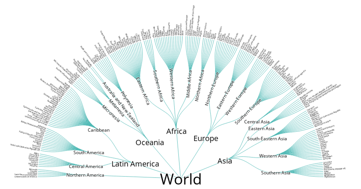
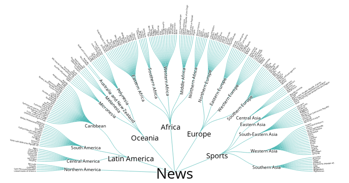
This radial tree visualization displays the hierarchy of Nigeria’s administrative divisions, from geographic zones down to local government areas. Built with D3 v4, it uses the `d3.cluster` layout to arrange nodes in a circular pattern, with SVG paths drawn as curved links between parent and child nodes. The visualization supports panning and zooming through `d3.zoom`. Text labels scale in size based on depth, and leaf nodes are rotated outward for readability. Data is loaded from a local `data.json` file containing the nested structure of regions, states, and LGAs.
AI-generated descriptionRadial Tree Visualization of Countries Hierarchy. Has Panning and Zooming interaction.
Adapted from Curran Kelleher’s Block "World Countries Hierarchy".
MIT Licensed





Comments
Sign in to join the discussion.