🌍 Public
Count-Tree
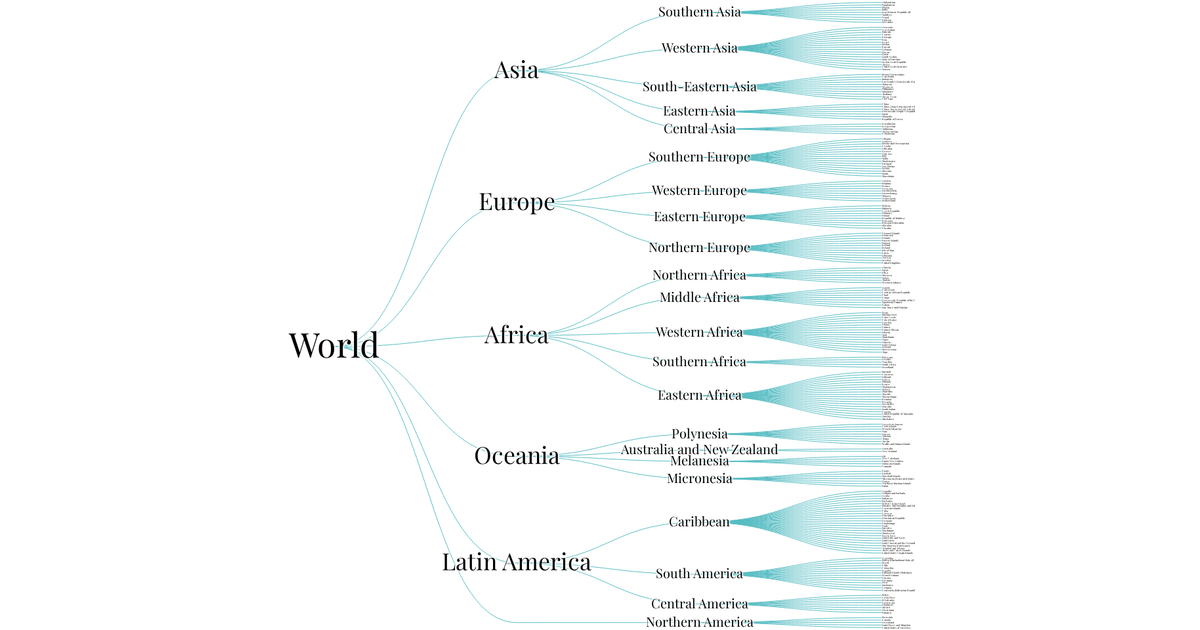
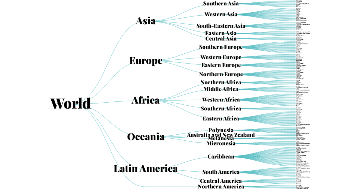
This visualization shows the hierarchical structure of countries organized by continent and subregion, displayed as a horizontal tree layout. Each node is labeled with its geographic region or country name, with font size decreasing at deeper levels. The SVG render is built with d3.v5, using `tree`, `hierarchy`, `linkHorizontal`, and `zoom` APIs to position nodes and links. The data comes from a JSON file containing the UN geographic classification.
AI-generated descriptionMIT Licensed



Comments
Sign in to join the discussion.