🌍 Public
Fork of Map_sdv
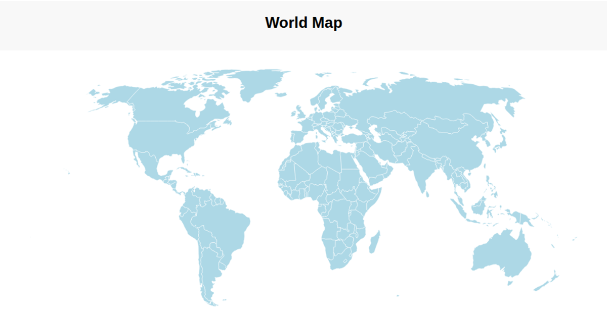
This example displays a simple world map using D3 v7 and TopoJSON. It renders an interactive SVG map with a Natural Earth projection, showing country boundaries with hover highlighting and native tooltips. The code uses `d3.geoNaturalEarth1`, `d3.geoPath`, and `d3.geoGraticule` to draw the sphere, graticule, and country paths from the world-atlas@2 countries-110m dataset. Pan and zoom are enabled via `d3.zoom`, and countries are loaded asynchronously from a CDN-hosted TopoJSON file.
AI-generated descriptionMIT Licensed




Comments
Sign in to join the discussion.