🌍 Public
World Map on D3.js!
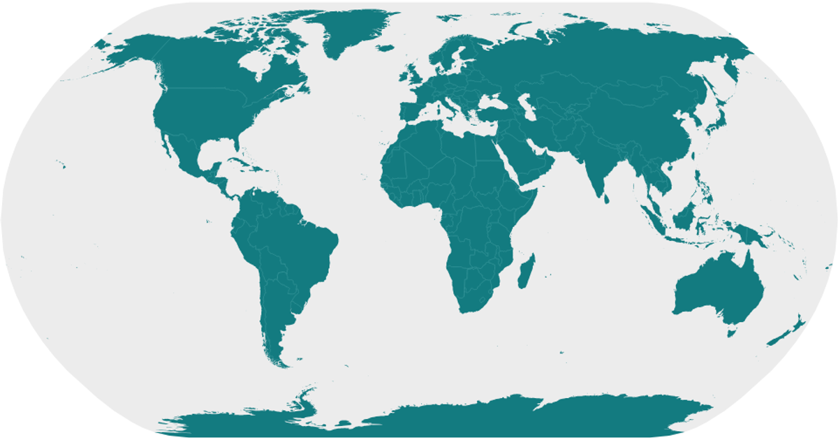
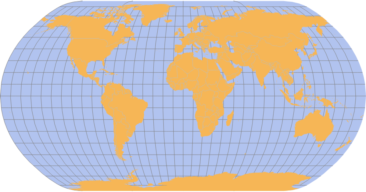
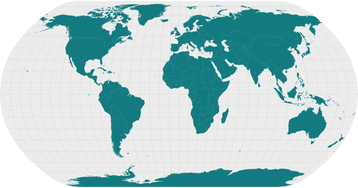
This example displays a world map rendered as an orthographic projection, with countries filled in yellow and the surrounding sphere in grey. The visualization loads GeoJSON country boundaries from the world-atlas TopoJSON data via `d3.json`, then uses `topojson.feature` to extract the features. The map is drawn with SVG paths using `d3.geoPath` and the `geoOrthographic` projection, with React managing the component structure. The code also demonstrates the `geoNaturalEarth1` projection as an alternative, though the orthographic view is active.
AI-generated descriptionA bare minimum HTML page.
See also React Starter.
MIT Licensed





Comments
Sign in to join the discussion.