🌍 Public
EGVIZ_TEST
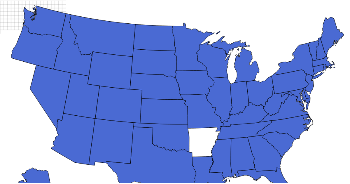
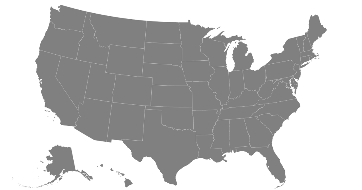
A single SVG map of the United States shows the outline of New York state in black, rendered as one continuous path element with geographic coordinates. The visualization uses raw SVG path data without any JavaScript libraries or data-processing frameworks, drawing only the state boundary with a title tag for identification. The rendering is static and minimal, presenting the geographic shape directly in the browser without interactive features or additional styling.
AI-generated descriptionMIT Licensed




Comments
Sign in to join the discussion.