🌍 Public
D3 Course 7: World Map - Rotating Globe
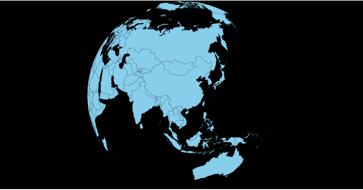
This example shows a rotating orthographic globe, with land masses rendered in light green against a black background. Country names appear as hover tooltips. The globe rotates continuously based on an elapsed time timer, with the projection's rotation updated accordingly. D3's `geoOrthographic` projection, `geoPath`, and `geoGraticule` are used to define the map, while land data comes from the `world-atlas` package. The visualization uses SVG rendering and a zoom interaction, and displays a graticule overlay.
AI-generated descriptionMIT Licensed


Comments
Sign in to join the discussion.