
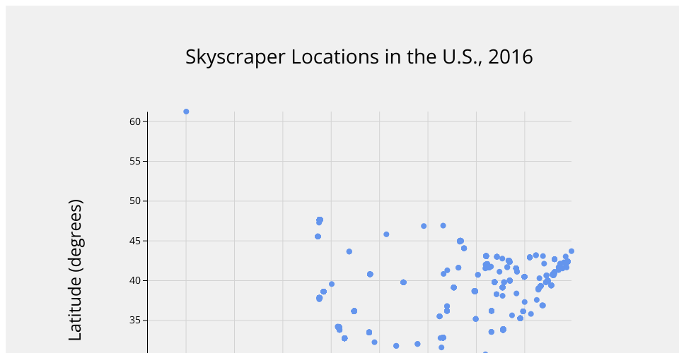
A scatterplot plotting the latitude and longitude of the skyscrapers in the dataset. You can see the general shape of the U.S., as well as a couple points where Alaska and Hawaii are.
Several rows of data contained latitudes/longitudes of 0, 0. These were removed as they are buildings of which construction has not yet started and the location is currently undecided.
MIT Licensed