
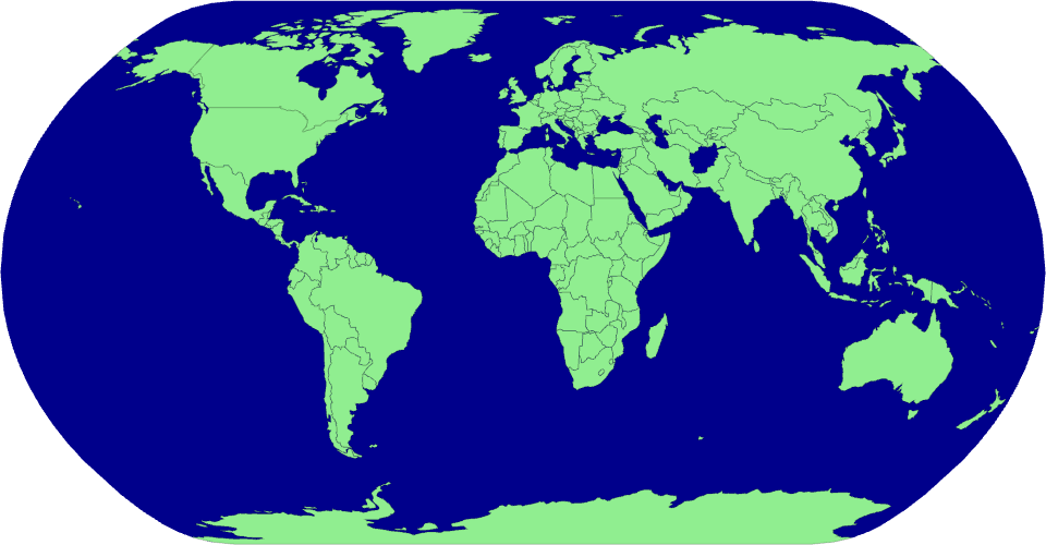
An example showing the capabilities of VizHub:
Notes:
- We have used World Atlas TopoJSON (npm package) and imported as a script in html file (using unpkg)
- The data we get from fetching from the API endpoint returns in Topology format but in D3 we have methods to deal with geojson data.
- We will convert topojson data into geojson using a library 'Topojson'.
- topology.feature can help us do that.
MIT Licensed