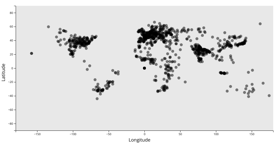
The Meteorite Landings Dataset
In this Scatter Plot, I used Longitude and Latitude from the dataset. I wanted to do this to display basically a world map, where the data points are the landings in their relative locations in the world.
Note: The axes do not use extent from d3. I changed them to have the -90,90 and -180,180 range of latitude and longitude.
MIT Licensed