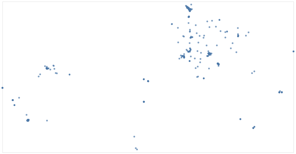
This is a visualization of the dataset Nuclear Explosions that shows where each deployments went off by latitute and longitude. Imagine there was a world map picture behind it- we can see many went off in the middle of the US as well as in Russia.
MIT Licensed