Interactive World Map
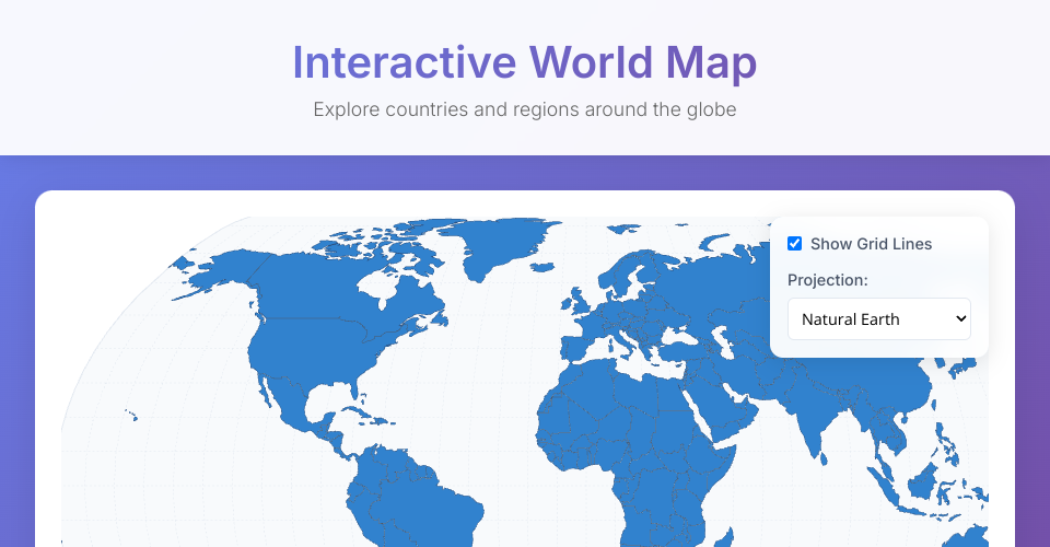
A beautiful, interactive world map built with React and D3.js featuring country selection, multiple map projections, and detailed country information.
Features
- 🗺️ Interactive world map with clickable countries
- 🎯 Multiple map projections (Natural Earth, Orthographic, Mercator, Albers)
- 📊 Country information panel with population and GDP data
- 🌐 Toggle-able graticule (grid lines)
- 📱 Responsive design for mobile and desktop
- ✨ Smooth animations and modern UI
Technologies Used
- React 18
- D3.js v7
- TopoJSON for map data
- CSS3 with modern features (backdrop-filter, gradients)
- Web-standard APIs
Getting Started
- Clone this repository
- Install dependencies:
npm install - Start the development server:
npm start - Open your browser to
http://localhost:3000
Usage
- Click on countries to view detailed information
- Use the controls in the top-right to change projections and toggle features
- Click outside any country to deselect
- Hover over countries to see hover effects
Map Data
This project uses the Natural Earth dataset via the world-atlas package, providing accurate country boundaries and geographic data.
Browser Support
This application works in all modern browsers that support:
- ES6+ JavaScript features
- CSS Grid and Flexbox
- SVG rendering
- Fetch API
License
Open source - feel free to use and modify for your projects.
MIT Licensed