
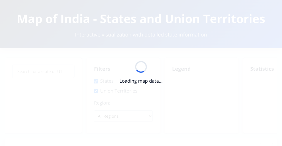
India Map Visualization
An interactive map visualization of India showing all states and union territories with detailed information and advanced filtering capabilities.
Features
🗺️ Interactive Map
- High-quality rendering with D3.js and responsive design
- Zoom and pan functionality with smooth animations
- Click-to-select states and union territories
- Hover tooltips with quick information
- Smart labeling that adapts to zoom level
🔍 Advanced Search & Filtering
- Fast search for states and union territories
- Type filtering - show/hide states or UTs
- Region filtering - filter by geographical regions
- Real-time results with autocomplete suggestions
📊 Rich Information Display
- Detailed state information including:
- Capital city
- Area and population
- Primary languages
- Establishment year
- Official government websites
- Statistics panel with key metrics
- Interactive legend with data counts
🎛️ User Controls
- Zoom controls (in, out, reset)
- Toggle labels on/off
- Fullscreen mode for presentations
- Download map as PNG image
- Responsive design for all devices
🎨 Modern Design
- Clean, professional interface with smooth animations
- Accessible design following WCAG guidelines
- Print-friendly styling for documentation
- Dark/light theme support via CSS variables
Technical Implementation
Architecture
- Modular design with separate files for different concerns
- Class-based organization for better code management
- Event-driven interactions for responsive UI
- Performance optimizations for smooth rendering
Technologies Used
- D3.js v7 - Data visualization and SVG manipulation
- Modern JavaScript (ES6+) - Classes, modules, async/await
- CSS Grid & Flexbox - Responsive layout
- CSS Custom Properties - Theming and consistency
Data Sources
- Geographic data from India GeoJSON Repository
- Additional state information curated from official sources
- Population and area data from Census of India
Browser Support
- Chrome/Edge 88+
- Firefox 85+
- Safari 14+
- Mobile browsers - iOS Safari, Chrome Mobile
Performance Features
- Optimized rendering with efficient D3 data joins
- Lazy loading of detailed information
- Debounced interactions to prevent excessive updates
- Responsive re-sizing with performance throttling
- Memory management for long-running sessions
Usage Examples
Basic Navigation
- Explore the map by hovering over states to see quick info
- Click any state to see detailed information and zoom in
- Use search to quickly find specific states or territories
- Apply filters to focus on specific regions or types
Advanced Features
- Share specific states via URL parameters
- Download maps for presentations or reports
- Toggle fullscreen for immersive exploration
- Print optimization for documentation needs
Customization
The visualization is built with customization in mind:
- CSS variables for easy theme changes
- Modular JavaScript for feature additions
- Configurable data sources for different datasets
- Extensible filtering system for additional criteria
License
© 2024 India Map Visualization - Educational and research use encouraged.
Data sources maintain their original licenses and attribution requirements.
MIT Licensed