Archaeological Floor Plan Drawing Tool
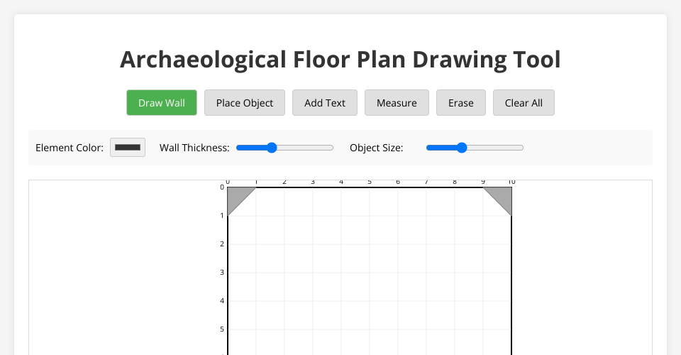
A digital drawing tool for creating archaeological unit floor plans. This tool allows archaeologists to document excavation units, features, and artifacts in a standardized digital format.
Features
- Grid-based drawing system with standard archaeological grid units
- Corner balks automatically included in the layout
- Drawing tools for walls, features, and archaeological objects
- Snap-to-grid functionality for precise measurements
- Simple eraser tool for corrections
- Clear button to start over
- Text annotations with customizable font size
- Measurement tool to calculate distances between points
- Color customization for all drawing elements
- Wall thickness and object size adjustments
- Export drawings as SVG or PNG files
- Save and load functionality using browser local storage
How to Use
- Open
index.htmlin a modern web browser - Select a drawing tool from the toolbar:
- Draw Wall: For creating walls, features, or boundaries
- Place Object: For marking artifacts or significant points
- Add Text: For adding text labels and annotations
- Measure: For measuring distances between points
- Erase: To remove elements
- Clear All: To reset the drawing
- Use the options panel to customize:
- Colors for walls, objects, and text
- Wall thickness
- Object size
- Text content and font size
- Click and drag on the grid to draw walls
- Click on the grid to place objects or text
- Use the measurement tool to calculate distances
- Save your work using the Save button, and load it later
- Export your floor plan as SVG or PNG
Customization
You can customize the grid dimensions and other settings in the grid.js file:
- Grid size and position
- Line spacing
- Colors and styles
Future Enhancements
- Layer system for different excavation levels
- Advanced measurement tools (areas, angles)
- Predefined archaeological symbol library
- Collaboration features
- Scale calibration
- Multiple unit management
- Stratigraphic relationships
License
Open source for archaeological use.
MIT Licensed