Archaeological Floor Plan Drawing Tool
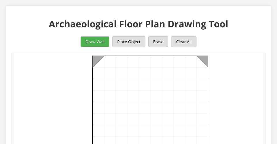
A digital drawing tool for creating archaeological unit floor plans. This tool allows archaeologists to document excavation units, features, and artifacts in a standardized digital format.
Features
- Grid-based drawing system with standard archaeological grid units
- Corner balks automatically included in the layout
- Drawing tools for walls, features, and archaeological objects
- Snap-to-grid functionality for precise measurements
- Simple eraser tool for corrections
- Clear button to start over
How to Use
- Open
index.htmlin a modern web browser - Select a drawing tool from the toolbar:
- Draw Wall: For creating walls, features, or boundaries
- Place Object: For marking artifacts or significant points
- Erase: To remove elements
- Clear All: To reset the drawing
- Click and drag on the grid to draw
- All elements will snap to the grid for precision
Customization
You can customize the grid dimensions and other settings in the grid.js file:
- Grid size and position
- Line spacing
- Colors and styles
Future Enhancements
- Export to SVG/PNG
- Save and load drawings
- Add text labels and measurements
- Layer system for different excavation levels
- Scale and measurement tools
License
Open source for archaeological use.
MIT Licensed
Comments
Wow, this is so cool! I am trying to learn how to exactly these things. Can I use some of your code?