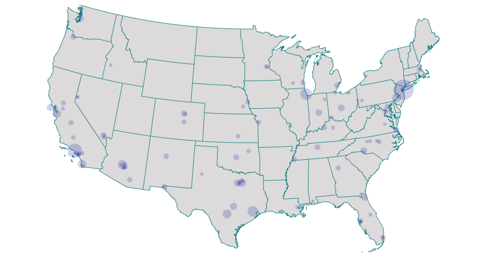
A the US map showing Largest cities in the USA by population for 2020
City data from Largest Cities by population in the USA.
I used the U.S. Geo Map of State Boundaries for the underlying map. In this iteration, I used the geoAlbers projection to clean up and zoom in on the map. While other projection types appear to gracefully handle a lat/long input of 0, it returns null with this projection, which causes a fatal error when you reference the scaled pixel locations.
finding Latitude and longitude form [latlong] (https://www.latlong.net/category/cities-236-15.html)
published in github in my account dralmadani
MIT Licensed